28a, Falconhall Road, Liverpool, L9 6DP
About 28a
28a is a detached house in Liverpool (L9 6DP). It has a recorded floor area of 39 m² (around 420 sq ft), construction records dating it to 1967-1975 and council tax band A. At 39 m² this is the 11th smallest of 38 units on EPC record in the building, where floor areas span 34–146 m². The building's EPC ratings span F to B across 38 units on file. The latest certificate (January 2023) shows a D (score 64), on the cusp of jumping into the C band.
Across 2008–2024, sale prices on this property compounded at -3.1% per year. Today's modelled estimate of £112,000 sits 180% above the 2024 sale of £40,000. On a £-per-square-foot basis, the last sale (£95/sq ft) was about 33.8% below the postcode norm. At 39 m² it sits well below the postcode median (68 m² across 37 EPCs), making it one of the more compact homes locally. It lags the bulk of the postcode on energy efficiency (less efficient than 73% of similar EPCs). Most recent transfer: January 2024 at £40,000.
Know exactly what you're buying at 28a
Before you offer, see what the listing won't tell you, the true value, the red flags and the full history.
Already flagged here
Valuation
against the asking price
Risks
planning & flood
Sold prices
similar homes nearby
Trends
the local market
Energy performance
EPC Rating
Planning history
28a has no planning applications on record.
Notable planning nearby
1applications of note in the surrounding area
We flagged 1 thing worth checking at 28a
Independent checks surfaced things a buyer would want to understand before offering. The report explains each one in full, with the underlying data and what to ask.
- Larger development activity nearby
30-day money-back guarantee
Sales history & valuation
28a's sale-price growth has lagged the wider UK trajectory across its history on file.
£112,000
Modelled from EPC, postcode comparables and a sale-price growth of -3.1% per year over 16 years.
£40,000
Growth on file: -3.1% per year over 16 years.
Sales timeline
12 January 2024Most recent
£40,000
-39.4%over 15 years11 February 2008
£66,000
Median price across the last 5 sales in L9 6DP: £40,000 (2023–2022).
Nearby sales in L9 6DP
Everything we know about 28a, in one report
What it's really worth, what could be wrong, and the planning, sales and area data in full.
What we flagged
- Larger development activity nearby

Versus other Falconhall Road homes
28a is notably below the street on years held.
Price per m²
£1,026
Street avg £1,503
Floor Area
39 m²
Street avg 39 m²
Habitable Rooms
2 rooms
Street avg 2 rooms
CO₂ Emissions
2.2 t/year
Street avg 1.8 t/year
Similar properties nearby
The neighbourhood at a glance
Crime
33/mo
Steady year-on-year across the wider district.
Nearest stop
0.2 km
Police Station — bus stop.
Closest school
0.3 km
Our Lady and St Philomena's Catholic Primary School. 27 schools nearby.
Go deeper on the local area
The full report breaks down crime, transport links, schools and air quality in depth.
Road noise across the postcode
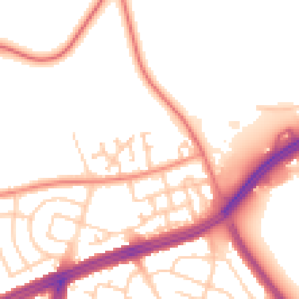
Daytime· 07:00 – 23:00
52.1dB

Night-time· 23:00 – 07:00
43.3dB