63 Ternhall Road, Liverpool, L9 6BY
About 63 Ternhall Road
63 Ternhall Road is a four-bedroom mid-terrace house in Liverpool (L9 6BY). It has a recorded floor area of 68 m² (around 732 sq ft), construction records dating it to 1930-1949 and council tax band A. The latest certificate (August 2021) shows a D (score 58), a step below the typical UK home. The recommended improvements would lift it to B (score 81), a 2-band jump.
At 68 m² it's 15.3% larger than the typical home in the postcode (59 m² median across 33 EPCs). Today's modelled estimate of £162,000 is 34.7% above the 2021 sale price. On a £-per-square-foot basis, the last sale (£164/sq ft) was about 148% above the typical sold price in the postcode. Last sale on file: £120,250 in November 2021. That sale was during the post-pandemic price surge, when transactions cleared materially above pre-2020 trend.
Know exactly what you're buying at 63 Ternhall Road
Before you offer, see what the listing won't tell you, the true value, the red flags and the full history.
Already flagged here
Valuation
against the asking price
Risks
planning & flood
Sold prices
similar homes nearby
Trends
the local market
What this property has
Inside
- Bedrooms4
- Bathrooms1
Energy performance
Recommended upgrades on file would lift this property by multiple EPC bands.
EPC Rating
Planning history
63 Ternhall Road has no planning applications on record.
Notable planning nearby
1applications of note in the surrounding area
We flagged 1 thing worth checking at 63 Ternhall Road
Independent checks surfaced things a buyer would want to understand before offering. The report explains each one in full, with the underlying data and what to ask.
- Larger development activity nearby
30-day money-back guarantee
Sales history & valuation
Latest sale on 63 Ternhall Road was the highest on Land Registry record across the postcode.
£162,000
Modelled from EPC, postcode comparables.
£120,250
Recorded with HM Land Registry.
Sales timeline
17 November 2021Most recent
£120,250
Median price across the last 5 sales in L9 6BY: £79,500 (2023–2006).
Everything we know about 63 Ternhall Road, in one report
What it's really worth, what could be wrong, and the planning, sales and area data in full.
What we flagged
- Larger development activity nearby

Versus other Ternhall Road homes
63 Ternhall Road outperforms the street on price per m² by a wide margin.
Price per m²
£1,768
Street avg £899
Floor Area
68 m²
Street avg 84 m²
Habitable Rooms
4 rooms
Street avg 4 rooms
CO₂ Emissions
3.3 t/year
Street avg 3.0 t/year
Similar properties nearby
1 Godetia Close
L9 6EF
1 Torrisholme Road
L9 6AS
1 Foxglove Close
L9 6EG
1 Hillbrook Drive, Walton
L9 6GA
1 Tilston Close
L9 6DZ
1 Oleander Way, Walton
L9 6EU
1 Wellfarm Close, Walton
L9 6GD
1 Mater Close, Walton
L9 6EP
The neighbourhood at a glance
Crime
33/mo
Steady year-on-year across the wider district.
Nearest stop
0.2 km
Ternhall Road — bus stop.
Closest school
0.3 km
Our Lady and St Philomena's Catholic Primary School. 27 schools nearby.
Go deeper on the local area
The full report breaks down crime, transport links, schools and air quality in depth.
Road noise across the postcode
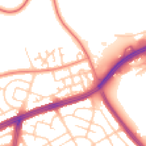
Daytime· 07:00 – 23:00
53.1dB

Night-time· 23:00 – 07:00
44.3dB