Flat 2, 9 Chapel Avenue, Liverpool, L9 2BY
About Flat 2
Flat 2 is a two-bedroom end-of-terrace house in Liverpool (L9 2BY). It has a recorded floor area of 92 m² (around 990 sq ft), construction records dating it to 1930-1949 and council tax band A. At 92 m² this is the 3rd smallest of 5 units on EPC record in the building, where floor areas span 47–200 m². The building's EPC ratings span E to C, with this unit at the top. On EPC score it ranks first in the building (74 versus a worst of 48). The latest certificate (November 2021) shows a C (score 74). When first surveyed in January 2010 the rating was D, the property has climbed 1 band since. Between certificates, lighting went from Very Poor to Very Good.
Across 2011–2021, sale prices on this property compounded at 1.4% per year. Today's modelled estimate of £106,000 sits 51.4% above the 2021 sale of £70,000. At 92 m² it's 15.2% smaller than the typical home in the postcode (109 m² median across 22 EPCs). Its energy rating outperforms most of the postcode (better than 82% of similar EPCs). Most recent transfer: October 2021 at £70,000. That sale was during the post-pandemic price surge, when transactions cleared materially above pre-2020 trend.
Know exactly what you're buying at Flat 2
Before you offer, see what the listing won't tell you, the true value, the red flags and the full history.
Valuation
against the asking price
Risks
planning & flood
Sold prices
similar homes nearby
Trends
the local market
What this property has
Inside
- Bedrooms2
- Bathrooms1
Energy performance
EPC Rating
Property Improvements
Changes detected from historical EPC data
Heating controls changed
Heating controls upgraded for better temperature management
Wall insulation improved
More low energy lighting installed
Planning history
Flat 2 has no planning applications on record.
Notable planning nearby
2applications of note in the surrounding area
Sales history & valuation
Flat 2's sale-price growth has lagged the wider UK trajectory across its history on file.
£106,000
Modelled from EPC, postcode comparables and a sale-price growth of 1.4% per year over 11 years.
£70,000
Growth on file: 1.4% per year over 11 years.
Sales timeline
14 October 2021Most recent
£70,000
+7.7%over 1 year31 January 2020
£65,000
+8.3%over 9 years26 January 2011
£59,995
Median price across the last 5 sales in L9 2BY: £190,000 (2025–2019).
Nearby sales in L9 2BY
Everything we know about Flat 2, in one report
What it's really worth, what could be wrong, and the planning, sales and area data in full.
- Am I paying too much?
- Is something wrong with it?
- Is the agent's story true?
- Will it hold its value?

Similar properties nearby
Flat 1, 314 Rice Lane
L9 2BL
Flat 1, 308 Rice Lane
L9 2BL
Flat 1, 310 Rice Lane
L9 2BL
Flat 2, 11 Brook Road, Walton
L9 2BE
Flat 1, 306 Rice Lane
L9 2BL
Flat 1, 1 Sefton Road, Walton
L9 2BP
Flat 1, 11 Brook Road, Walton
L9 2BE
Flat 1, 324 Rice Lane
L9 2BL
The neighbourhood at a glance
Rail-style transport is unusually close for this postcode.
Crime
33/mo
Steady year-on-year across the wider district.
Nearest stop
0.1 km
Orrell Park Station — bus stop.
Closest school
0.3 km
Rice Lane Primary School and Nursery. 41 schools nearby.
Go deeper on the local area
The full report breaks down crime, transport links, schools and air quality in depth.
Road noise across the postcode
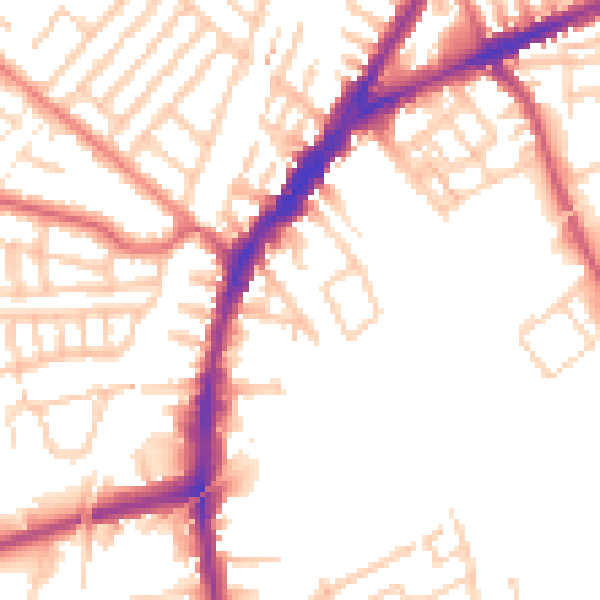
Daytime· 07:00 – 23:00
52.4dB

Night-time· 23:00 – 07:00
42.9dB