19 Atheldene Road, Liverpool, L4 9TU
About 19 Atheldene Road
19 Atheldene Road is a three-bedroom end-of-terrace house in Liverpool (L4 9TU). It has a recorded floor area of 75 m² (around 807 sq ft), construction records dating it to 1950-1966 and council tax band A. The latest certificate (September 2022) shows a D (score 68), on the cusp of jumping into the C band. Earlier certificates rated it C (April 2009); the latest reading is one band lower. Between certificates, lighting went from Poor to Very Good; while roof efficiency dropped from Average to Very Poor and window efficiency dropped from Good to Average. The recommended improvements would lift it to B (score 81), a 2-band jump.
It lags the bulk of the postcode on energy efficiency (less efficient than 85% of similar EPCs). On a £-per-square-foot basis, the last sale (£157/sq ft) was about 61.6% above the typical sold price in the postcode. Sold March 2023 for £126,500.
Know exactly what you're buying at 19 Atheldene Road
Before you offer, see what the listing won't tell you, the true value, the red flags and the full history.
Valuation
against the asking price
Risks
planning & flood
Sold prices
similar homes nearby
Trends
the local market
What this property has
Inside
- Bedrooms3
- Bathrooms1
Outside
- Private gardenFront
Energy performance
Recommended upgrades on file would lift this property by multiple EPC bands.
EPC Rating
Property Improvements
Changes detected from historical EPC data
Hot water efficiency decreased
More low energy lighting installed
Planning history
19 Atheldene Road has no planning applications on record.
The full report still covers planning activity across the surrounding area.
Sales history & valuation
Latest sale on 19 Atheldene Road was the highest on Land Registry record across the postcode.
£137,000
Modelled from EPC, postcode comparables.
£126,500
Recorded with HM Land Registry.
Sales timeline
13 March 2023Most recent
£126,500
Median price across the last 5 sales in L4 9TU: £102,500 (2024–2016).
Nearby sales in L4 9TU
Everything we know about 19 Atheldene Road, in one report
What it's really worth, what could be wrong, and the planning, sales and area data in full.
- Am I paying too much?
- Is something wrong with it?
- Is the agent's story true?
- Will it hold its value?

Versus other Atheldene Road homes
19 Atheldene Road outperforms the street on price per m² by a wide margin.
Price per m²
£1,687
Street avg £1,215
Floor Area
75 m²
Street avg 77 m²
Habitable Rooms
4 rooms
Street avg 4 rooms
CO₂ Emissions
3.0 t/year
Street avg 2.6 t/year
Similar properties nearby
The neighbourhood at a glance
Reported crime in the wider district is trending notably upward year-on-year.
Crime
11/mo
Rising year-on-year across the wider district.
Nearest stop
0.3 km
Walton Hall Park — bus stop.
Closest school
0.1 km
Florence Melly Community Primary School. 48 schools nearby.
Go deeper on the local area
The full report breaks down crime, transport links, schools and air quality in depth.
Road noise across the postcode
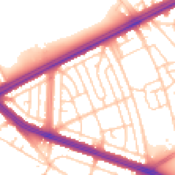
Daytime· 07:00 – 23:00
55.0dB

Night-time· 23:00 – 07:00
46.5dB