26 Warner Drive, Liverpool, L4 8US
About 26 Warner Drive
26 Warner Drive is an end-of-terrace house in Liverpool (L4 8US). It has a recorded floor area of 66 m² (around 710 sq ft), construction records dating it to 1983-1990 and council tax band B. The latest certificate (September 2011) shows a C (score 75), near the top of the C band. The latest certificate is from September 2011, so improvements made since then won't be reflected.
Today's modelled estimate of £136,000 sits 91.5% above the 2014 sale of £71,000. On a £-per-square-foot basis, the last sale (£100/sq ft) was about 37.3% above the typical sold price in the postcode. On the market in December 2014 and unlisted since — roughly 11 years.
Know exactly what you're buying at 26 Warner Drive
Before you offer, see what the listing won't tell you, the true value, the red flags and the full history.
Valuation
against the asking price
Risks
planning & flood
Sold prices
similar homes nearby
Trends
the local market
Energy performance
26 Warner Drive's EPC is over a decade old — improvements since won't be reflected.
EPC Expired
This certificate is over 10 years old and is no longer valid.Expired 29 Sept 2021
EPC Rating
Planning history
26 Warner Drive has no planning applications on record.
Notable planning nearby
1applications of note in the surrounding area
Sales history & valuation
26 Warner Drive valuation sits well clear of the typical sold price in this postcode.
£136,000
Modelled from EPC, postcode comparables.
£71,000
Recorded with HM Land Registry.
Sales timeline
11 December 2014Most recent
£71,000
Median price across the last 5 sales in L4 8US: £130,000 (2025–2012).
Everything we know about 26 Warner Drive, in one report
What it's really worth, what could be wrong, and the planning, sales and area data in full.
- Am I paying too much?
- Is something wrong with it?
- Is the agent's story true?
- Will it hold its value?

Versus other Warner Drive homes
On epc rating, 26 Warner Drive stands well clear of the street.
Price per m²
£1,076
Street avg £1,090
Floor Area
66 m²
Street avg 74 m²
Habitable Rooms
4 rooms
Street avg 5 rooms
CO₂ Emissions
1.9 t/year
Street avg 3.1 t/year
Similar properties nearby
The neighbourhood at a glance
Reported crime in the wider district is trending notably upward year-on-year.
Crime
11/mo
Rising year-on-year across the wider district.
Nearest stop
0.1 km
Warner Drive — bus stop.
Closest school
0.5 km
Pinehurst Primary School. 52 schools nearby.
Go deeper on the local area
The full report breaks down crime, transport links, schools and air quality in depth.
Road noise across the postcode
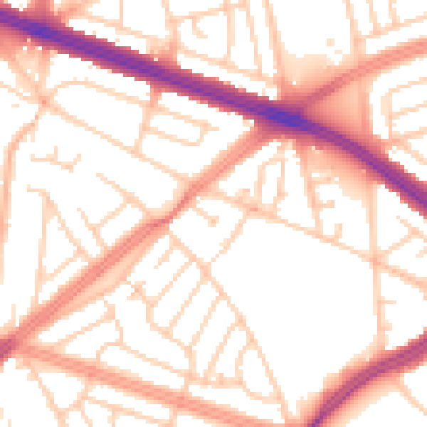
Daytime· 07:00 – 23:00
53.9dB

Night-time· 23:00 – 07:00
43.8dB