1b, Lindsay Road, Liverpool, L4 8SR
About 1b
1b is a three-bedroom semi-detached house in Liverpool (L4 8SR). It has a recorded floor area of 82 m² (around 884 sq ft), construction records dating it to 1900-1929 and council tax band A. The latest certificate (June 2011) shows an E (score 42), well below the UK norm with real room to improve. The latest certificate is from June 2011, so improvements made since then won't be reflected.
It hasn't traded since February 2002, a hold of 24 years that's notably long for the area. On energy efficiency it sits in the bottom 10% of properties in this postcode — significant headroom for improvement. Today's modelled estimate of £135,000 sits 221.4% above the 2002 sale of £42,000. On a £-per-square-foot basis, the last sale (£48/sq ft) was about 49.4% below the postcode norm.
Know exactly what you're buying at 1b
Before you offer, see what the listing won't tell you, the true value, the red flags and the full history.
Valuation
against the asking price
Risks
planning & flood
Sold prices
similar homes nearby
Trends
the local market
What this property has
Inside
- Bedrooms3
- Dining roomYes
Building
- RefurbishedYes
Energy performance
1b sits at the bottom of the postcode for energy efficiency — meaningful headroom to improve.
EPC Expired
This certificate is over 10 years old and is no longer valid.Expired 08 Jun 2021
EPC Rating
Planning history
1b has no planning applications on record.
Notable planning nearby
1applications of note in the surrounding area
Sales history & valuation
1b's estimated value is more than triple its earliest registered sale price (2002).
£135,000
Modelled from EPC, postcode comparables.
£42,000
Recorded with HM Land Registry.
Sales timeline
28 February 2002Most recent
£42,000
Median price across the last 5 sales in L4 8SR: £155,000 (2025–2021).
Everything we know about 1b, in one report
What it's really worth, what could be wrong, and the planning, sales and area data in full.
- Am I paying too much?
- Is something wrong with it?
- Is the agent's story true?
- Will it hold its value?

Versus other Lindsay Road homes
Price per m² for 1b lags the street by a wide margin.
Price per m²
£512
Street avg £1,286
Floor Area
82 m²
Street avg 85 m²
Habitable Rooms
5 rooms
Street avg 4 rooms
CO₂ Emissions
6.3 t/year
Street avg 3.2 t/year
Similar properties nearby
The neighbourhood at a glance
Reported crime in the wider district is trending notably upward year-on-year.
Crime
11/mo
Rising year-on-year across the wider district.
Nearest stop
0.1 km
Queens Drive — bus stop.
Closest school
0.5 km
St Matthew's Catholic Primary School. 51 schools nearby.
Go deeper on the local area
The full report breaks down crime, transport links, schools and air quality in depth.
Road noise across the postcode
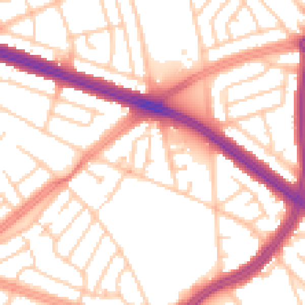
Daytime· 07:00 – 23:00
54.0dB

Night-time· 23:00 – 07:00
44.0dB