8 Grosvenor Road, Walton, Liverpool, L4 5RB
About 8 Grosvenor Road
8 Grosvenor Road is a property in Walton, Liverpool, Liverpool (L4 5RB). It has council tax band A.
Held since February 2001 — that's 25 years off the open market, well above the local norm. Only one transfer is on record with HM Land Registry, suggesting it has stayed in the same hands for a long time. One historical planning record sits against the property in 2025.
Know exactly what you're buying at 8 Grosvenor Road
Before you offer, see what the listing won't tell you, the true value, the red flags and the full history.
Valuation
against the asking price
Risks
planning & flood
Sold prices
similar homes nearby
Trends
the local market
Energy performance
No EPC on record
This property doesn't have an Energy Performance Certificate yet. An EPC is required to sell or let — and unlocks our automated valuation.
Planning history
- Oct 2025RenovationFullIn report
Installation of External Wall Insulation with silicone render finish to rear elevations and to increase the height of the eaves level of the rear roofs
- Reference
- 25F/2625
What's in 8 Grosvenor Road, Walton, Liverpool, L4 5RB's planning history?
Refusals, disputes and full decisions on this property and nearby, in the report.
Sales history & valuation
£27,000
Recorded with HM Land Registry.
Sales timeline
2 February 2001Most recent
£27,000
Median price across the last 5 sales in L4 5RB: £59,000 (2024–2006).
Nearby sales in L4 5RB
14 Grosvenor Road, Walton, Liverpool, L4 5RB
Sold Jun 2024
£65,0002 Grosvenor Road, Walton, Liverpool, L4 5RB
Sold Aug 2018
£37,0003 Grosvenor Road, Walton, Liverpool, L4 5RB
Sold Feb 2015
£44,40016 Grosvenor Road, Walton, Liverpool, L4 5RB
Sold Aug 2006
£59,0006 Grosvenor Road, Walton, Liverpool, L4 5RB
Sold Mar 2006
£75,000
Everything we know about 8 Grosvenor Road, in one report
What it's really worth, what could be wrong, and the planning, sales and area data in full.
- Am I paying too much?
- Is something wrong with it?
- Is the agent's story true?
- Will it hold its value?

Similar properties nearby
The neighbourhood at a glance
Reported crime in the wider district is trending notably upward year-on-year.
Crime
11/mo
Rising year-on-year across the wider district.
Nearest stop
0.2 km
Hill Crest — bus stop.
Closest school
0.3 km
Hillside High School. 38 schools nearby.
Go deeper on the local area
The full report breaks down crime, transport links, schools and air quality in depth.
Road noise across the postcode
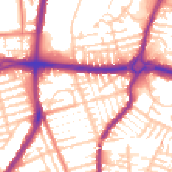
Daytime· 07:00 – 23:00
56.0dB

Night-time· 23:00 – 07:00
46.6dB