17 Brindley Close, Liverpool, L21 9NR
About 17 Brindley Close
17 Brindley Close is a three-bedroom semi-detached house in Liverpool (L21 9NR). It has a recorded floor area of 82 m² (around 883 sq ft), construction records dating it to 1950-1966 and council tax band B. The latest certificate (May 2017) shows an E (score 53), well below the UK norm with real room to improve. The rating has held steady at E across 2 certificates since November 2013. Between certificates, hot-water efficiency went from Very Poor to Poor and lighting went from Very Poor to Very Good; while roof efficiency dropped from Very Good to Good. The recommended improvements would lift it to B (score 86), a 3-band jump. The home occupies a cul-de-sac position.
On energy efficiency it sits in the bottom 10% of properties in this postcode — significant headroom for improvement. Today's modelled estimate of £198,000 sits 83.3% above the 2017 sale of £108,000. Last sold in November 2017, so it's been off the market for around 9 years.
What this property has
Inside
- Bedrooms3
- Bathrooms1
Outside
- Private gardenWest-facing
- Cul-de-sacYes
Building
- Heating systemGas
Everything you need to know about 17 Brindley Close
The true value, the hidden risks and the full sale history, in one report.
30-day money-back guarantee

The data behind every report


Energy performance
17 Brindley Close sits at the bottom of the postcode for energy efficiency — meaningful headroom to improve.
EPC Rating
Property Improvements
Changes detected from historical EPC data
Hot water system upgraded
More low energy lighting installed
Planning history
17 Brindley Close has no planning applications on record.
Notable planning nearby
1applications of note in the surrounding area
Sales history & valuation
17 Brindley Close valuation sits well clear of the typical sold price in this postcode.
£198,000
Modelled from EPC, postcode comparables.
£108,000
Recorded with HM Land Registry.
Sales timeline
17 November 2017Most recent
£108,000
Median price across the last 5 sales in L21 9NR: £150,000 (2024–2017).
Nearby sales in L21 9NR
Versus other Brindley Close homes
On epc rating, 17 Brindley Close runs well behind the street norm.
Price per m²
£1,317
Street avg £1,722
Floor Area
82 m²
Street avg 83 m²
Habitable Rooms
4 rooms
Street avg 4 rooms
CO₂ Emissions
5.2 t/year
Street avg 2.9 t/year
Everything you need to know about 17 Brindley Close
The true value, the hidden risks and the full sale history, in one report.
30-day money-back guarantee
The data behind every report
Similar properties nearby
1 Eltham Avenue
L21 9LL
1 Newlyn Avenue, Litherland
L21 9LD
1 Brindley Close
L21 9NR
1 Enstone Avenue
L21 9LH
1 Lowden Avenue
L21 9JE
1 Litherland Park
L21 9HP
1 Greenfield Lane
L21 9NP
1 Canal View Court, Field Lane, Litherland
L21 9QE
The neighbourhood at a glance
Reported crime in the wider district is trending notably upward year-on-year.
Crime
4/mo
Rising year-on-year across the wider district.
Nearest stop
0.1 km
Kirkstone Road West — bus stop.
Closest school
0.2 km
Our Lady Queen of Peace Catholic Primary School. 39 schools nearby.
Go deeper on the local area
The full report breaks down crime, transport links, schools and air quality in depth.
Road noise across the postcode
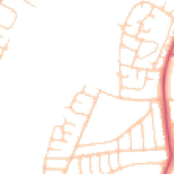
Daytime· 07:00 – 23:00
45.9dB

Night-time· 23:00 – 07:00
37.5dB