20 Newlyn Avenue, Litherland, Liverpool, L21 9LD
About 20 Newlyn Avenue
20 Newlyn Avenue is a property in Litherland, Liverpool, Liverpool (L21 9LD). It has council tax band C.
Untraded for 28 years, with the last transfer in October 1998. Only one transfer is on record with HM Land Registry, suggesting it has stayed in the same hands for a long time. 3 planning records sit against the property, 2 approved, 1 refused. Past consents include an extension, meaningful when judging how the property has evolved.
Everything you need to know about 20 Newlyn Avenue
The true value, the hidden risks and the full sale history, in one report.
30-day money-back guarantee

The data behind every report


Energy performance
No EPC on record
This property doesn't have an Energy Performance Certificate yet. An EPC is required to sell or let — and unlocks our automated valuation.
Planning history
20 Newlyn Avenue has 2 separate extension applications on the council record.
- Jun 2007ExtensionFullIn report
Erection of a two storey extension at the front and a single storey extension at the side of the dwellinghouse
- Documents
- 4 docs on file
- Reference
- S/2007/0345
- Oct 2006ExtensionFullIn report
Extension: Two storey · Side of property
Erection of a two storey extension at the side of the dwelling house (resubmission of S/2006/0455 refused 11/07/06)
- Documents
- 3 docs on file
- Reference
- S/2006/0783
What's in 20 Newlyn Avenue, Litherland, Liverpool, L21 9LD's planning history?
1 more on this property, plus refusals, disputes and full decisions nearby, in the report.
Sales history & valuation
20 Newlyn Avenue has been held in the same hands since before 2000.
£50,500
Recorded with HM Land Registry.
Sales timeline
30 October 1998Most recent
£50,500
Median price across the last 5 sales in L21 9LD: £195,000 (2022–2019).
Nearby sales in L21 9LD
8 Newlyn Avenue, Litherland, Liverpool, L21 9LD
Sold Aug 2022
£197,00029 Newlyn Avenue, Litherland, Liverpool, L21 9LD
Sold Dec 2021
£195,0007 Newlyn Avenue, Litherland, Liverpool, L21 9LD
Sold Nov 2021
£200,0001 Newlyn Avenue, Litherland, Liverpool, L21 9LD
Sold Oct 2019
£165,00026 Newlyn Avenue, Litherland, Liverpool, L21 9LD
Sold Apr 2019
£172,500
Everything you need to know about 20 Newlyn Avenue
The true value, the hidden risks and the full sale history, in one report.
30-day money-back guarantee
The data behind every report
Similar properties nearby
The neighbourhood at a glance
Reported crime in the wider district is trending notably upward year-on-year.
Crime
4/mo
Rising year-on-year across the wider district.
Nearest stop
0.1 km
Sonning Avenue — bus stop.
Closest school
0.4 km
Hatton Hill Primary School. 39 schools nearby.
Go deeper on the local area
The full report breaks down crime, transport links, schools and air quality in depth.
Road noise across the postcode
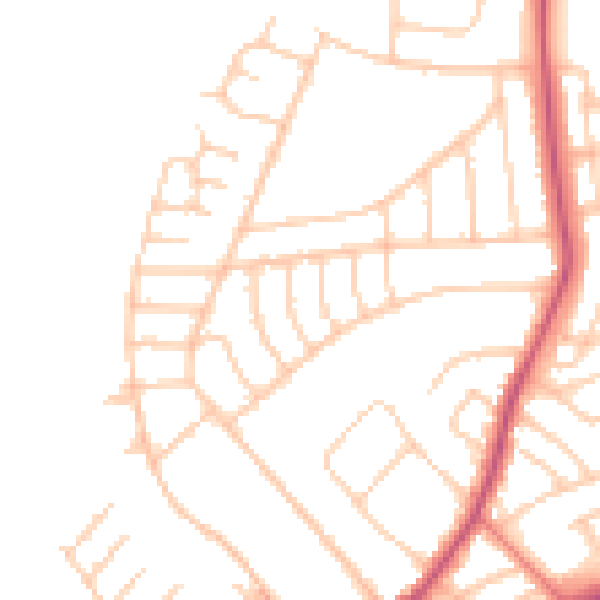
Daytime· 07:00 – 23:00
48.4dB

Night-time· 23:00 – 07:00
38.9dB