12 Jersey Avenue, Liverpool, L21 9LA
About 12 Jersey Avenue
12 Jersey Avenue is a three-bedroom semi-detached house in Liverpool (L21 9LA). It has a recorded floor area of 100 m² (around 1076 sq ft), construction records dating it to 1950-1966 and council tax band C. The latest certificate (May 2016) shows a D (score 61), on the cusp of jumping into the C band. The rating has held steady at D across 2 certificates since May 2016. The recommended improvements would lift it to B (score 82), a 2-band jump. The latest certificate is from May 2016, so improvements made since then won't be reflected.
Across 2018–2024, sale prices on this property compounded at 6.3% per year. On a £-per-square-foot basis, the last sale (£223/sq ft) was about 88.6% above the typical sold price in the postcode. Sold September 2024 for £240,000.
What this property has
Inside
- Bedrooms3
- Bathrooms1
Everything you need to know about 12 Jersey Avenue
The true value, the hidden risks and the full sale history, in one report.
30-day money-back guarantee

The data behind every report


Energy performance
Recommended upgrades on file would lift this property by multiple EPC bands.
EPC Expired
This certificate is over 10 years old and is no longer valid.Expired 18 May 2026
EPC Rating
Planning history
12 Jersey Avenue has no planning applications on record.
Notable planning nearby
1applications of note in the surrounding area
Sales history & valuation
Latest sale on 12 Jersey Avenue was the highest on Land Registry record across the postcode.
£261,000
Modelled from EPC, postcode comparables and a sale-price growth of 6.3% per year over 6 years.
£240,000
Growth on file: 6.3% per year over 6 years.
Sales timeline
5 September 2024Most recent
£240,000
+44.6%over 6 years23 August 2018
£166,000
Median price across the last 5 sales in L21 9LA: £165,000 (2021–2012).
Nearby sales in L21 9LA
Versus other Jersey Avenue homes
Price per m² for 12 Jersey Avenue runs comfortably ahead of the street norm.
Price per m²
£2,400
Street avg £1,644
Floor Area
100 m²
Street avg 107 m²
Habitable Rooms
5 rooms
Street avg 6 rooms
CO₂ Emissions
4.8 t/year
Street avg 6.0 t/year
Everything you need to know about 12 Jersey Avenue
The true value, the hidden risks and the full sale history, in one report.
30-day money-back guarantee
The data behind every report
Similar properties nearby
1 Litherland Park
L21 9HP
1 Enstone Avenue
L21 9LH
1 Brindley Close
L21 9NR
1 Newlyn Avenue, Litherland
L21 9LD
1 Eltham Avenue
L21 9LL
1 Lowden Avenue
L21 9JE
1 Greenfield Lane
L21 9NP
1 Canal View Court, Field Lane, Litherland
L21 9QE
The neighbourhood at a glance
Reported crime in the wider district is trending notably upward year-on-year.
Crime
4/mo
Rising year-on-year across the wider district.
Nearest stop
0.2 km
Sonning Avenue — bus stop.
Closest school
0.3 km
Hatton Hill Primary School. 38 schools nearby.
Go deeper on the local area
The full report breaks down crime, transport links, schools and air quality in depth.
Road noise across the postcode
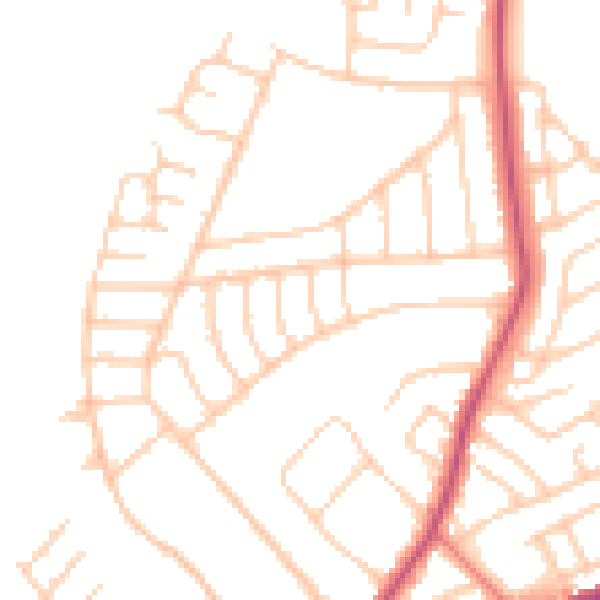
Daytime· 07:00 – 23:00
48.9dB

Night-time· 23:00 – 07:00
39.0dB