16 Ferguson Road, Litherland, Liverpool, L21 9HU
About 16 Ferguson Road
16 Ferguson Road is a three-bedroom mid-terrace house in Litherland, Liverpool, Liverpool (L21 9HU). It has a recorded floor area of 83 m² (around 893 sq ft), construction records dating it to 1930-1949 and council tax band A. The latest certificate (January 2025) shows a C (score 71). The recommended improvements would push it to B (score 87).
Today's modelled estimate of £145,000 sits 190% above the 2011 sale of £50,000. On a £-per-square-foot basis, the last sale (£56/sq ft) was about 53.6% below the postcode norm. Last sold in November 2011, so it's been off the market for around 15 years.
What this property has
Inside
- Bedrooms3
- Bathrooms1
Outside
- Private gardenYes
- ParkingOff road
Everything you need to know about 16 Ferguson Road
The true value, the hidden risks and the full sale history, in one report.
30-day money-back guarantee

The data behind every report


Energy performance
EPC Rating
Planning history
16 Ferguson Road has no planning applications on record.
Notable planning nearby
1applications of note in the surrounding area
Sales history & valuation
£145,000
Modelled from EPC, postcode comparables.
£50,000
Recorded with HM Land Registry.
Sales timeline
22 November 2011Most recent
£50,000
Median price across the last 5 sales in L21 9HU: £130,000 (2024–2008).
Nearby sales in L21 9HU
10 Ferguson Road, Litherland, Liverpool, L21 9HU
Sold Mar 2024
£130,00017 Ferguson Road, Litherland, Liverpool, L21 9HU
Sold Nov 2022
£175,00011 Ferguson Road, Litherland, Liverpool, L21 9HU
Sold Sept 2017
£132,50025 Ferguson Road, Litherland, Liverpool, L21 9HU
Sold Jun 2015
£73,00028 Ferguson Road, Litherland, Liverpool, L21 9HU
Sold Jun 2008
£120,000
Versus other Ferguson Road homes
16 Ferguson Road is notably below the street on price per m².
Price per m²
£602
Street avg £1,509
Floor Area
83 m²
Street avg 86 m²
Habitable Rooms
5 rooms
Street avg 5 rooms
CO₂ Emissions
2.8 t/year
Street avg 3.7 t/year
Everything you need to know about 16 Ferguson Road
The true value, the hidden risks and the full sale history, in one report.
30-day money-back guarantee
The data behind every report
Similar properties nearby
1 Lowden Avenue
L21 9JE
1 Greenfield Lane
L21 9NP
1 Eltham Avenue
L21 9LL
1 Newlyn Avenue, Litherland
L21 9LD
1 Brindley Close
L21 9NR
1 Enstone Avenue
L21 9LH
1 Highfield Road, Litherland
L21 9NH
1 Litherland Park
L21 9HP
The neighbourhood at a glance
Reported crime in the wider district is trending notably upward year-on-year.
Crime
4/mo
Rising year-on-year across the wider district.
Nearest stop
0.2 km
Osborne Road — bus stop.
Closest school
0.6 km
Hatton Hill Primary School. 39 schools nearby.
Go deeper on the local area
The full report breaks down crime, transport links, schools and air quality in depth.
Road noise across the postcode
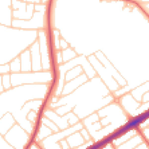
Daytime· 07:00 – 23:00
50.3dB

Night-time· 23:00 – 07:00
40.4dB