11a, Sefton Road, Litherland, Liverpool, L21 9HA
About 11a
11a is a semi-detached house in Litherland, Liverpool, Liverpool (L21 9HA). It has a recorded floor area of 80 m² (around 859 sq ft), construction records dating it to 1930-1949 and council tax band A. At 80 m² this is the 4th smallest of 16 units on EPC record in the building, where floor areas span 42–174 m². The building's EPC ratings span E to C across 16 units on file. The latest certificate (July 2010) shows a D (score 57), a step below the typical UK home. The latest certificate is from July 2010, so improvements made since then won't be reflected.
At 80 m² it sits well below the postcode median (149 m² across 15 EPCs), making it one of the more compact homes locally.
Everything you need to know about 11a
The true value, the hidden risks and the full sale history, in one report.
30-day money-back guarantee

The data behind every report


Energy performance
11a's EPC is over a decade old — improvements since won't be reflected.
EPC Expired
This certificate is over 10 years old and is no longer valid.Expired 12 Jul 2020
EPC Rating
Planning history
11a has no planning applications on record.
Notable planning nearby
1applications of note in the surrounding area
Sales history & valuation
11a has no Land Registry sales on file, suggesting it has stayed in the same hands since registration began.
£120,000
Modelled from EPC, postcode comparables.
No sales recorded with HM Land Registry
That can mean the property has never traded since the registry began publishing in 1995, was a new build that hasn't been registered yet, or is held in the same hands long-term.
Median price across the last 5 sales in L21 9HA: £190,000 (2023–2020).
Nearby sales in L21 9HA
27 Sefton Road, Litherland, Liverpool, L21 9HA
Sold Mar 2023
£190,00031b, Sefton Road, Litherland, Liverpool, L21 9HA
Sold Mar 2022
£230,00031 Sefton Road, Litherland, Liverpool, L21 9HA
Sold Sept 2021
£320,0003 Sefton Road, Litherland, Liverpool, L21 9HA
Sold Mar 2020
£183,0009 Sefton Road, Litherland, Liverpool, L21 9HA
Sold Mar 2020
£170,000
Versus other Sefton Road homes
Floor Area for 11a runs comfortably ahead of the street norm.
EPC Rating
57 (D)
Street avg 56 (D)
Floor Area
80 m²
Street avg 59 m²
CO₂ Emissions
4.6 t/year
Street avg 3.3 t/year
Habitable Rooms
3 rooms
Street avg 3 rooms
Everything you need to know about 11a
The true value, the hidden risks and the full sale history, in one report.
30-day money-back guarantee
The data behind every report
Similar properties nearby
1 Bridgewater Court, Waterfield Way
L21 9QH
1 Field View
L21 9NQ
1 Greenfield Lane
L21 9NP
1 Bankside Court, Field Lane, Litherland
L21 9QQ
1 Bridgewater Close
L21 9NS
1 Cumpsty Road
L21 9HX
1 Highfield Road, Litherland
L21 9NH
1 Lowden Avenue
L21 9JE
The neighbourhood at a glance
Rail-style transport is unusually close for this postcode.
Crime
4/mo
Rising year-on-year across the wider district.
Nearest stop
0.0 km
Sefton Road — bus stop.
Closest school
0.3 km
English Martyrs' Catholic Primary School. 36 schools nearby.
Go deeper on the local area
The full report breaks down crime, transport links, schools and air quality in depth.
Road noise across the postcode
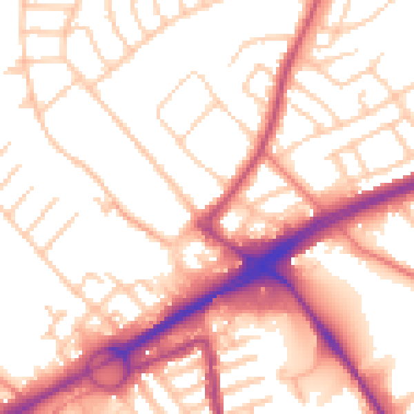
Daytime· 07:00 – 23:00
54.5dB

Night-time· 23:00 – 07:00
44.7dB