1 Sefton Road, Litherland, Liverpool, L21 9HA
About 1 Sefton Road
1 Sefton Road is a three-bedroom detached house in Litherland, Liverpool, Liverpool (L21 9HA). It has a recorded floor area of 166 m² (around 1787 sq ft), construction records dating it to 1950-1966 and council tax band C. The latest certificate (September 2016) shows a D (score 65), on the cusp of jumping into the C band. When first surveyed in April 2012 the rating was E, the property has climbed 1 band since. Between certificates, roof efficiency went from Very Poor to Good and lighting went from Very Poor to Average. The recommended improvements would lift it to B (score 83), a 2-band jump.
Held since November 1997 — that's 29 years off the open market, well above the local norm. Only one transfer is on record with HM Land Registry, suggesting it has stayed in the same hands for a long time. Today's modelled estimate of £267,000 sits 330.6% above the 1997 sale of £62,000. On a £-per-square-foot basis, the last sale (£35/sq ft) was about 71.1% below the postcode norm.
What this property has
Inside
- Bedrooms3
- Dining roomYes
- CloakroomYes
Everything you need to know about 1 Sefton Road
The true value, the hidden risks and the full sale history, in one report.
30-day money-back guarantee

The data behind every report


Energy performance
1 Sefton Road's carbon output runs well above what efficient homes in the postcode produce.
EPC Rating
Property Improvements
Changes detected from historical EPC data
Roof insulation improved
More low energy lighting installed
Ventilation system changed
Planning history
1 Sefton Road has no planning applications on record.
Notable planning nearby
1applications of note in the surrounding area
Sales history & valuation
1 Sefton Road's modelled value sits at over four times its earliest registered sale price (1997).
£267,000
Modelled from EPC, postcode comparables.
£62,000
Recorded with HM Land Registry.
Sales timeline
7 November 1997Most recent
£62,000
Median price across the last 5 sales in L21 9HA: £190,000 (2023–2020).
Nearby sales in L21 9HA
27 Sefton Road, Litherland, Liverpool, L21 9HA
Sold Mar 2023
£190,00031b, Sefton Road, Litherland, Liverpool, L21 9HA
Sold Mar 2022
£230,00031 Sefton Road, Litherland, Liverpool, L21 9HA
Sold Sept 2021
£320,0003 Sefton Road, Litherland, Liverpool, L21 9HA
Sold Mar 2020
£183,0009 Sefton Road, Litherland, Liverpool, L21 9HA
Sold Mar 2020
£170,000
Versus other Sefton Road homes
On price per m², 1 Sefton Road runs well behind the street norm.
Price per m²
£373
Street avg £1,932
Floor Area
166 m²
Street avg 139 m²
Habitable Rooms
8 rooms
Street avg 6 rooms
CO₂ Emissions
6.2 t/year
Street avg 6.6 t/year
Everything you need to know about 1 Sefton Road
The true value, the hidden risks and the full sale history, in one report.
30-day money-back guarantee
The data behind every report
Similar properties nearby
1 Litherland Park
L21 9HP
1 Enstone Avenue
L21 9LH
1 Brindley Close
L21 9NR
1 Newlyn Avenue, Litherland
L21 9LD
1 Eltham Avenue
L21 9LL
1 Lowden Avenue
L21 9JE
1 Greenfield Lane
L21 9NP
1 Canal View Court, Field Lane, Litherland
L21 9QE
The neighbourhood at a glance
Rail-style transport is unusually close for this postcode.
Crime
4/mo
Rising year-on-year across the wider district.
Nearest stop
0.0 km
Sefton Road — bus stop.
Closest school
0.3 km
English Martyrs' Catholic Primary School. 36 schools nearby.
Go deeper on the local area
The full report breaks down crime, transport links, schools and air quality in depth.
Road noise across the postcode
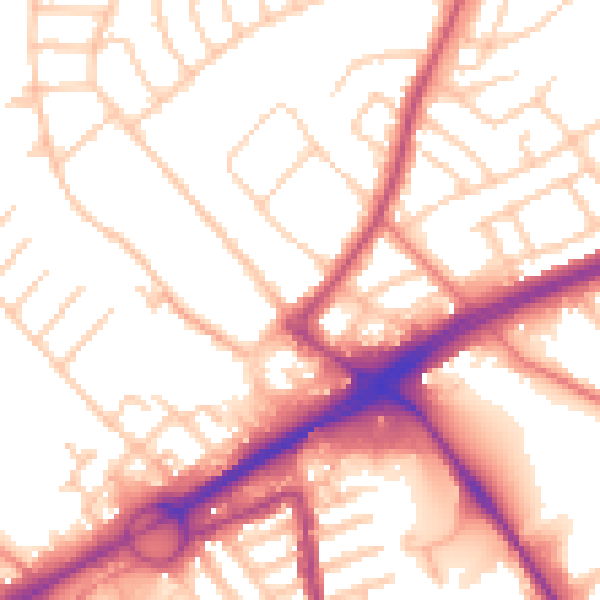
Daytime· 07:00 – 23:00
54.5dB

Night-time· 23:00 – 07:00
44.7dB