11 Heathfield Close, Litherland, Liverpool, L21 8PT
About 11 Heathfield Close
11 Heathfield Close is a semi-detached house in Litherland, Liverpool, Liverpool (L21 8PT). It has a recorded floor area of 89 m² (around 958 sq ft), construction records dating it to 1930-1949 and council tax band A. The latest certificate (August 2013) shows an E (score 54), well below the UK norm with real room to improve. The recommended improvements would lift it to C (score 77), a 2-band jump. The latest certificate is from August 2013, so improvements made since then won't be reflected.
Today's modelled estimate of £131,000 sits 63.7% above the 2022 sale of £80,000. On a £-per-square-foot basis, the last sale (£84/sq ft) was about 26.3% below the postcode norm. At 89 m² it's 21.9% larger than the typical home in the postcode (73 m² median across 12 EPCs). It lags the bulk of the postcode on energy efficiency (less efficient than 83% of similar EPCs). Sold December 2022 for £80,000. That sale was during the post-pandemic price surge, when transactions cleared materially above pre-2020 trend.
Everything you need to know about 11 Heathfield Close
The true value, the hidden risks and the full sale history, in one report.
30-day money-back guarantee

The data behind every report


Energy performance
Recommended upgrades on file would lift this property by multiple EPC bands.
EPC Expired
This certificate is over 10 years old and is no longer valid.Expired 13 Aug 2023
EPC Rating
Planning history
11 Heathfield Close has no planning applications on record.
The full report still covers planning activity across the surrounding area.
Sales history & valuation
The latest sale landed in the post-pandemic price surge — useful context when reading the figure.
£131,000
Modelled from EPC, postcode comparables.
£80,000
Recorded with HM Land Registry.
Sales timeline
7 December 2022Most recent
£80,000
Median price across the last 5 sales in L21 8PT: £89,000 (2021–2008).
Nearby sales in L21 8PT
7 Heathfield Close, Litherland, Liverpool, L21 8PT
Sold Nov 2021
£125,0009 Heathfield Close, Litherland, Liverpool, L21 8PT
Sold Feb 2020
£89,00012 Heathfield Close, Litherland, Liverpool, L21 8PT
Sold Oct 2018
£88,0001 Heathfield Close, Litherland, Liverpool, L21 8PT
Sold Feb 2016
£55,0002 Heathfield Close, Litherland, Liverpool, L21 8PT
Sold Jun 2006
£115,000
Versus other Heathfield Close homes
On price per m², 11 Heathfield Close runs well behind the street norm.
Price per m²
£899
Street avg £1,406
Floor Area
89 m²
Street avg 74 m²
Habitable Rooms
5 rooms
Street avg 4 rooms
CO₂ Emissions
5.0 t/year
Street avg 3.1 t/year
Everything you need to know about 11 Heathfield Close
The true value, the hidden risks and the full sale history, in one report.
30-day money-back guarantee
The data behind every report
Similar properties nearby
The neighbourhood at a glance
Reported crime in the wider district is trending notably upward year-on-year.
Crime
4/mo
Rising year-on-year across the wider district.
Nearest stop
0.2 km
Hartwell Street — bus stop.
Closest school
0.1 km
St Elizabeth's Catholic Primary School. 39 schools nearby.
Go deeper on the local area
The full report breaks down crime, transport links, schools and air quality in depth.
Road noise across the postcode
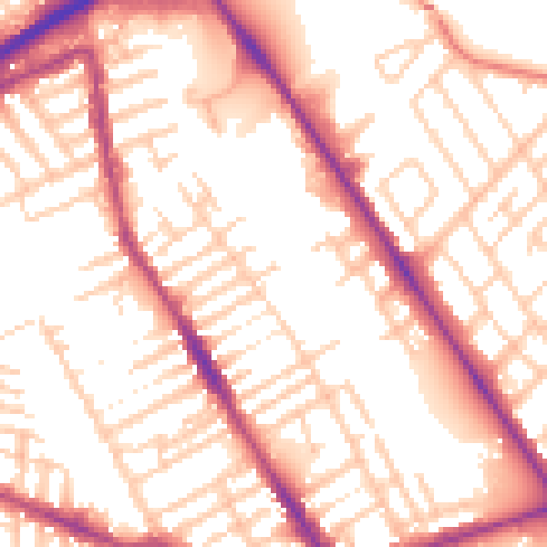
Daytime· 07:00 – 23:00
54.9dB

Night-time· 23:00 – 07:00
45.5dB