25 Longfield Road, Liverpool, L21 8LA
About 25 Longfield Road
25 Longfield Road is a two-bedroom mid-terrace house in Liverpool (L21 8LA). It has a recorded floor area of 72 m² (around 775 sq ft), construction records dating it to 1900-1929 and council tax band A. Tenure is freehold. The latest certificate (August 2023) shows a C (score 73). When first surveyed in October 2010 the rating was D, the property has climbed 1 band since. Between certificates, roof efficiency went from Very Poor to Poor and window efficiency went from Average to Good; while hot-water efficiency dropped from Very Good to Good and main heating dropped from Very Good to Good. The recommended improvements would push it to B (score 90). Our model identifies extension potential, subject to local planning policy.
Today's modelled estimate of £119,000 sits 58.7% above the 2024 sale of £75,000. On a £-per-square-foot basis, the last sale (£97/sq ft) was about 22.5% above the typical sold price in the postcode. Sold May 2024 for £75,000.
What this property has
Inside
- Bedrooms2
Outside
- GarageYes
Building
- TenureFreehold
- Extension potentialPossible
Everything you need to know about 25 Longfield Road
The true value, the hidden risks and the full sale history, in one report.
30-day money-back guarantee

The data behind every report


Energy performance
EPC Rating
Property Improvements
Changes detected from historical EPC data
Heating controls upgraded for better temperature management
Hot water efficiency decreased
Window efficiency improved
Roof insulation improved
Planning history
25 Longfield Road has no planning applications on record.
The full report still covers planning activity across the surrounding area.
Sales history & valuation
25 Longfield Road valuation sits well clear of the typical sold price in this postcode.
£119,000
Modelled from EPC, postcode comparables.
£75,000
Recorded with HM Land Registry.
Sales timeline
16 May 2024Most recent
£75,000
Median price across the last 5 sales in L21 8LA: £74,000 (2025–2023).
Nearby sales in L21 8LA
Versus other Longfield Road homes
25 Longfield Road outperforms the street on epc rating by a wide margin.
Price per m²
£1,042
Street avg £4,037
Floor Area
72 m²
Street avg 65 m²
Habitable Rooms
4 rooms
Street avg 4 rooms
CO₂ Emissions
2.3 t/year
Street avg 2.9 t/year
Everything you need to know about 25 Longfield Road
The true value, the hidden risks and the full sale history, in one report.
30-day money-back guarantee
The data behind every report
Similar properties nearby
The neighbourhood at a glance
Rail-style transport is unusually close for this postcode.
Crime
4/mo
Rising year-on-year across the wider district.
Nearest stop
0.1 km
Hartwell Street — bus stop.
Closest school
0.3 km
King's Lander Primary Academy. 36 schools nearby.
Go deeper on the local area
The full report breaks down crime, transport links, schools and air quality in depth.
Road noise across the postcode
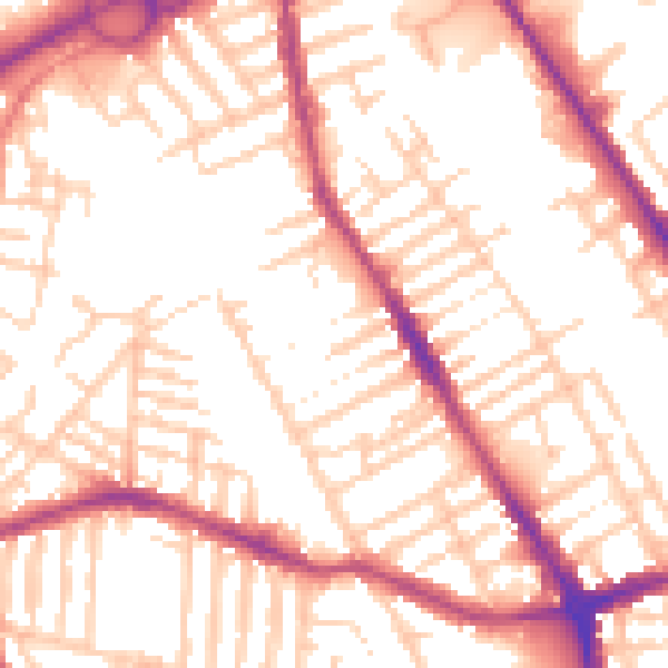
Daytime· 07:00 – 23:00
54.4dB

Night-time· 23:00 – 07:00
44.8dB