27 Daley Road, Liverpool, L21 7QG
About 27 Daley Road
27 Daley Road is a mid-terrace house in Liverpool (L21 7QG). It has a recorded floor area of 60 m² (around 646 sq ft), construction records dating it to 1950-1966 and council tax band A. The latest certificate (March 2020) shows a C (score 72). When first surveyed in February 2009 the rating was D, the property has climbed 1 band since. Between certificates, roof efficiency went from Average to Good and lighting went from Poor to Very Good; while wall efficiency dropped from Good to Average and window efficiency dropped from Good to Average. The recommended improvements would push it to B (score 88).
Across 2004–2021, sale prices on this property compounded at 1.9% per year. Today's modelled estimate of £139,000 sits 95.8% above the 2021 sale of £71,000. On a £-per-square-foot basis, the last sale (£110/sq ft) was about 40.5% above the typical sold price in the postcode. Most recent transfer: May 2021 at £71,000. That sale was during the post-pandemic price surge, when transactions cleared materially above pre-2020 trend.
Everything you need to know about 27 Daley Road
The true value, the hidden risks and the full sale history, in one report.
30-day money-back guarantee

The data behind every report


Energy performance
EPC Rating
Property Improvements
Changes detected from historical EPC data
Roof insulation improved
More low energy lighting installed
Planning history
27 Daley Road has no planning applications on record.
The full report still covers planning activity across the surrounding area.
Sales history & valuation
The latest sale landed in the post-pandemic price surge — useful context when reading the figure.
£139,000
Modelled from EPC, postcode comparables and a sale-price growth of 1.9% per year over 17 years.
£71,000
Growth on file: 1.9% per year over 17 years.
Sales timeline
13 May 2021Most recent
£71,000
+14.5%over 5 years30 September 2015
£62,000
+19.2%over 11 years29 July 2004
£52,000
Median price across the last 5 sales in L21 7QG: £61,000 (2025–2009).
Versus other Daley Road homes
On floor area, 27 Daley Road runs well behind the street norm.
Price per m²
£1,183
Street avg £1,050
Floor Area
60 m²
Street avg 68 m²
Habitable Rooms
4 rooms
Street avg 5 rooms
CO₂ Emissions
2.1 t/year
Street avg 2.7 t/year
Everything you need to know about 27 Daley Road
The true value, the hidden risks and the full sale history, in one report.
30-day money-back guarantee
The data behind every report
Similar properties nearby
The neighbourhood at a glance
Reported crime in the wider district is trending notably upward year-on-year.
Crime
4/mo
Rising year-on-year across the wider district.
Nearest stop
0.3 km
Springfield Avenue — bus stop.
Closest school
0.5 km
St Philip's Church of England Controlled Primary School. 39 schools nearby.
Go deeper on the local area
The full report breaks down crime, transport links, schools and air quality in depth.
Road noise across the postcode
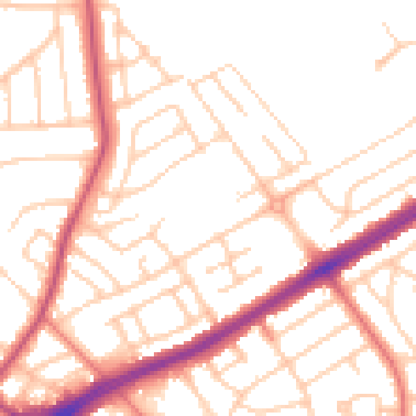
Daytime· 07:00 – 23:00
52.0dB

Night-time· 23:00 – 07:00
41.7dB