23 Hapsford Road, Liverpool, L21 6NP
About 23 Hapsford Road
23 Hapsford Road is a three-bedroom end-of-terrace house in Liverpool (L21 6NP). It has a recorded floor area of 78 m² (around 840 sq ft), construction records dating it to 1983-1990 and council tax band A. The latest certificate (September 2023) shows a C (score 74). The rating has held steady at C across 2 certificates since April 2013. Between certificates, window efficiency went from Average to Good and lighting went from Very Poor to Very Good. The recommended improvements would push it to B (score 88).
A recent sale: £125,000 in August 2025. Across 2007–2025, sale prices on this property compounded at 1.5% per year. Today's modelled estimate of £141,000 is 12.8% above the 2025 sale price. On a £-per-square-foot basis, the last sale (£149/sq ft) was about 76.6% above the typical sold price in the postcode.
What this property has
Inside
- Bedrooms3
- Bathrooms2
Everything you need to know about 23 Hapsford Road
The true value, the hidden risks and the full sale history, in one report.
30-day money-back guarantee

The data behind every report


Energy performance
EPC Rating
Property Improvements
Changes detected from historical EPC data
Window efficiency improved
More low energy lighting installed
Planning history
23 Hapsford Road has no planning applications on record.
The full report still covers planning activity across the surrounding area.
Sales history & valuation
23 Hapsford Road's sale-price growth has lagged the wider UK trajectory across its history on file.
£141,000
Modelled from EPC, postcode comparables and a sale-price growth of 1.5% per year over 18 years.
£125,000
Growth on file: 1.5% per year over 18 years.
Sales timeline
7 August 2025Most recent
£125,000
+30.2%over 18 years26 June 2007
£96,000
Median price across the last 5 sales in L21 6NP: £84,250 (2022–2019).
Nearby sales in L21 6NP
Versus other Hapsford Road homes
23 Hapsford Road is notably below the street on years held.
Price per m²
£1,603
Street avg £1,055
Floor Area
78 m²
Street avg 83 m²
Habitable Rooms
5 rooms
Street avg 5 rooms
CO₂ Emissions
2.3 t/year
Street avg 3.4 t/year
Everything you need to know about 23 Hapsford Road
The true value, the hidden risks and the full sale history, in one report.
30-day money-back guarantee
The data behind every report
Similar properties nearby
The neighbourhood at a glance
Rail-style transport is unusually close for this postcode.
Crime
4/mo
Rising year-on-year across the wider district.
Nearest stop
0.2 km
Bowden Street — bus stop.
Closest school
0.3 km
Our Lady Star of the Sea Catholic Primary School. 36 schools nearby.
Go deeper on the local area
The full report breaks down crime, transport links, schools and air quality in depth.
Road noise across the postcode
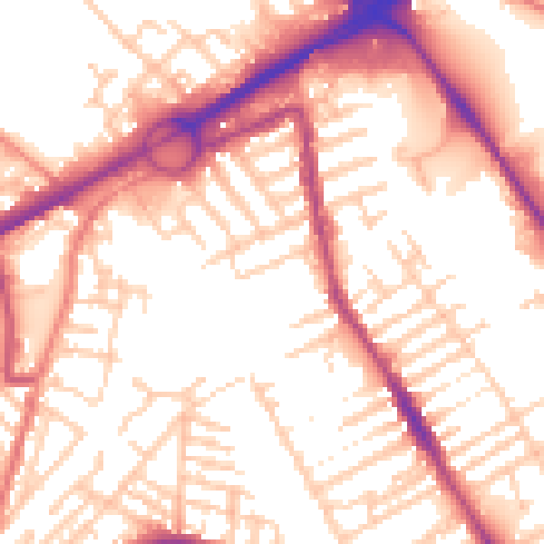
Daytime· 07:00 – 23:00
55.3dB

Night-time· 23:00 – 07:00
45.5dB