13 Ince Avenue, Litherland, Liverpool, L21 6NL
About 13 Ince Avenue
13 Ince Avenue is a two-bedroom mid-terrace house in Litherland, Liverpool, Liverpool (L21 6NL). It has a recorded floor area of 85 m² (around 915 sq ft), construction records dating it to 1900-1929 and council tax band A. The latest certificate (October 2025) shows a C (score 69), just inside the C band.
Held since July 2005 — that's 21 years off the open market, well above the local norm. Today's modelled estimate of £127,000 sits 61.8% above the 2005 sale of £78,500. On a £-per-square-foot basis, the last sale (£86/sq ft) was about 43.7% above the typical sold price in the postcode. Its energy rating outperforms most of the postcode (better than 71% of similar EPCs).
What this property has
Inside
- Bedrooms2
- Bathrooms1
Everything you need to know about 13 Ince Avenue
The true value, the hidden risks and the full sale history, in one report.
30-day money-back guarantee

The data behind every report


Energy performance
EPC Rating
Planning history
13 Ince Avenue has no planning applications on record.
The full report still covers planning activity across the surrounding area.
Sales history & valuation
13 Ince Avenue valuation sits well clear of the typical sold price in this postcode.
£127,000
Modelled from EPC, postcode comparables.
£78,500
Recorded with HM Land Registry.
Sales timeline
14 July 2005Most recent
£78,500
Median price across the last 5 sales in L21 6NL: £60,000 (2021–2018).
Nearby sales in L21 6NL
8 Ince Avenue, Litherland, Liverpool, L21 6NL
Sold Jul 2021
£120,0009 Ince Avenue, Litherland, Liverpool, L21 6NL
Sold May 2021
£60,00017 Ince Avenue, Litherland, Liverpool, L21 6NL
Sold Aug 2018
£90,00021 Ince Avenue, Litherland, Liverpool, L21 6NL
Sold Jul 2018
£60,00019 Ince Avenue, Litherland, Liverpool, L21 6NL
Sold Aug 2013
£54,000
Versus other Ince Avenue homes
CO₂ Emissions for 13 Ince Avenue runs comfortably ahead of the street norm.
Price per m²
£924
Street avg £749
Floor Area
85 m²
Street avg 87 m²
Habitable Rooms
4 rooms
Street avg 5 rooms
CO₂ Emissions
2.5 t/year
Street avg 4.0 t/year
Everything you need to know about 13 Ince Avenue
The true value, the hidden risks and the full sale history, in one report.
30-day money-back guarantee
The data behind every report
Similar properties nearby
The neighbourhood at a glance
Rail-style transport is unusually close for this postcode.
Crime
4/mo
Rising year-on-year across the wider district.
Nearest stop
0.1 km
Scarisbrick Avenue — bus stop.
Closest school
0.4 km
Our Lady Star of the Sea Catholic Primary School. 36 schools nearby.
Go deeper on the local area
The full report breaks down crime, transport links, schools and air quality in depth.
Road noise across the postcode
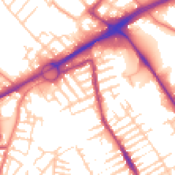
Daytime· 07:00 – 23:00
55.5dB

Night-time· 23:00 – 07:00
45.9dB