36 Croxteth Avenue, Liverpool, L21 6NB
About 36 Croxteth Avenue
36 Croxteth Avenue is a three-bedroom mid-terrace house in Liverpool (L21 6NB). It has a recorded floor area of 84 m² (around 904 sq ft), construction records dating it to 1930-1949 and council tax band A. The latest certificate (February 2021) shows a D (score 62), on the cusp of jumping into the C band. The recommended improvements would push it to C (score 80).
Untraded for 20 years, with the last transfer in June 2006. Across 2005–2006, sale prices on this property compounded at 67.8% per year. Today's modelled estimate of £133,000 is 47.8% above the 2006 sale price. On a £-per-square-foot basis, the last sale (£100/sq ft) was about 48.9% above the typical sold price in the postcode.
What this property has
Inside
- Bedrooms3
- Bathrooms1
Outside
- Private gardenRear
Building
- Heating systemGas
- RefurbishedYes
Everything you need to know about 36 Croxteth Avenue
The true value, the hidden risks and the full sale history, in one report.
30-day money-back guarantee

The data behind every report


Energy performance
EPC Rating
Planning history
36 Croxteth Avenue has no planning applications on record.
The full report still covers planning activity across the surrounding area.
We flagged 1 thing worth checking at 36 Croxteth Avenue
Independent checks surfaced things a buyer would want to understand before offering. The report explains each one in full, with the underlying data and what to ask.
- Recent ownership pattern worth a look
30-day money-back guarantee
Sales history & valuation
36 Croxteth Avenue changed hands twice within eighteen months — unusual for the area.
£133,000
Modelled from EPC, postcode comparables and a sale-price growth of 67.8% per year over 1 year.
£90,000
Growth on file: 67.8% per year over 1 year.
Sales timeline
13 June 2006Most recent
£90,000
+80.0%over 1 year24 April 2005
£50,000
Median price across the last 5 sales in L21 6NB: £130,000 (2025–2017).
Nearby sales in L21 6NB
Versus other Croxteth Avenue homes
36 Croxteth Avenue outperforms the street on years held by a wide margin.
Price per m²
£1,071
Street avg £938
Floor Area
84 m²
Street avg 86 m²
Habitable Rooms
4 rooms
Street avg 5 rooms
CO₂ Emissions
4.0 t/year
Street avg 3.5 t/year
Everything you need to know about 36 Croxteth Avenue
The true value, the hidden risks and the full sale history, in one report.
30-day money-back guarantee
The data behind every report
Similar properties nearby
The neighbourhood at a glance
Rail-style transport is unusually close for this postcode.
Crime
4/mo
Rising year-on-year across the wider district.
Nearest stop
0.2 km
Seaforth & Litherland Rail Station — railway station.
Closest school
0.3 km
Our Lady Star of the Sea Catholic Primary School. 35 schools nearby.
Go deeper on the local area
The full report breaks down crime, transport links, schools and air quality in depth.
Road noise across the postcode
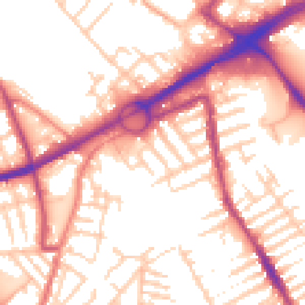
Daytime· 07:00 – 23:00
55.4dB

Night-time· 23:00 – 07:00
45.7dB