6 Crescent Court, Liverpool, L21 4PQ
About 6 Crescent Court
6 Crescent Court is an end-of-terrace house in Liverpool (L21 4PQ). It has a recorded floor area of 46 m² (around 495 sq ft), construction records dating it to 1967-1975 and council tax band A. At 46 m² this is the 18th smallest of 48 units on EPC record in the building, where floor areas span 34–96 m². The building's EPC ratings span D to B, with this unit at the bottom. The latest certificate (February 2026) shows a D (score 66), on the cusp of jumping into the C band. Earlier certificates rated it B (June 2009); the latest reading is 2 bands lower. Between certificates, lighting went from Good to Very Good; while window efficiency dropped from Average to Poor and hot-water efficiency dropped from Good to Average. The recommended improvements would push it to C (score 70). This certificate was lodged in the last six months, so the rating reflects current condition.
It lags the bulk of the postcode on energy efficiency (less efficient than 72% of similar EPCs).
Everything you need to know about 6 Crescent Court
The true value, the hidden risks and the full sale history, in one report.
30-day money-back guarantee

The data behind every report


Energy performance
The EPC has just been inspected, so the rating reflects current condition.
EPC Rating
Property Improvements
Changes detected from historical EPC data
Changed to a more efficient fuel source
Window efficiency improved
More low energy lighting installed
Hot water efficiency decreased
Planning history
6 Crescent Court has no planning applications on record.
The full report still covers planning activity across the surrounding area.
Sales history & valuation
6 Crescent Court has no Land Registry sales on file, suggesting it has stayed in the same hands since registration began.
£124,000
Modelled from EPC, postcode comparables.
No sales recorded with HM Land Registry
That can mean the property has never traded since the registry began publishing in 1995, was a new build that hasn't been registered yet, or is held in the same hands long-term.
Versus other Crescent Court homes
6 Crescent Court is notably below the street on epc rating.
EPC Rating
66 (D)
Street avg 72 (C)
Floor Area
46 m²
Street avg 46 m²
CO₂ Emissions
1.9 t/year
Street avg 1.6 t/year
Habitable Rooms
2 rooms
Street avg 2 rooms
Everything you need to know about 6 Crescent Court
The true value, the hidden risks and the full sale history, in one report.
30-day money-back guarantee
The data behind every report
Similar properties nearby
The neighbourhood at a glance
Rail-style transport is unusually close for this postcode.
Crime
4/mo
Rising year-on-year across the wider district.
Nearest stop
0.0 km
Elm Road — bus stop.
Closest school
0.3 km
Rimrose Hope CofE Primary School. 31 schools nearby.
Go deeper on the local area
The full report breaks down crime, transport links, schools and air quality in depth.
Road noise across the postcode
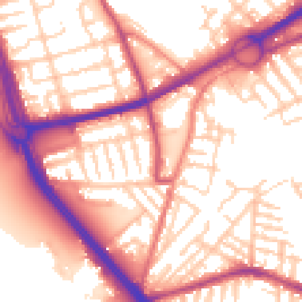
Daytime· 07:00 – 23:00
56.9dB

Night-time· 23:00 – 07:00
47.4dB