25 Verdi Street, Liverpool, L21 4PA
About 25 Verdi Street
25 Verdi Street is a mid-terrace house in Liverpool (L21 4PA). It has a recorded floor area of 52 m² (around 560 sq ft), construction records dating it to 1900-1929 and council tax band A. The latest certificate (February 2019) shows a D (score 65), on the cusp of jumping into the C band. The rating has held steady at D across 2 certificates since October 2011. Between certificates, lighting went from Very Poor to Good; while window efficiency dropped from Good to Average. The recommended improvements would lift it to B (score 85), a 2-band jump.
It hasn't traded since August 2006, a hold of 20 years that's notably long for the area. Across 2001–2006, sale prices on this property compounded at 27.2% per year. Today's modelled estimate of £110,000 sits 120% above the 2006 sale of £50,000. On a £-per-square-foot basis, the last sale (£89/sq ft) was about 24.1% above the typical sold price in the postcode.
Everything you need to know about 25 Verdi Street
The true value, the hidden risks and the full sale history, in one report.
30-day money-back guarantee

The data behind every report


Energy performance
Recommended upgrades on file would lift this property by multiple EPC bands.
EPC Rating
Property Improvements
Changes detected from historical EPC data
More low energy lighting installed
Planning history
25 Verdi Street has no planning applications on record.
The full report still covers planning activity across the surrounding area.
Sales history & valuation
Sale price has grown by over 3x since 2001.
£110,000
Modelled from EPC, postcode comparables and a sale-price growth of 27.2% per year over 5 years.
£50,000
Growth on file: 27.2% per year over 5 years.
Sales timeline
3 August 2006Most recent
£50,000
+212.5%over 4 years9 November 2001
£16,000
Median price across the last 5 sales in L21 4PA: £68,500 (2025–2021).
Versus other Verdi Street homes
Floor Area for 25 Verdi Street lags the street by a wide margin.
Price per m²
£962
Street avg £1,079
Floor Area
52 m²
Street avg 57 m²
Habitable Rooms
4 rooms
Street avg 4 rooms
CO₂ Emissions
2.6 t/year
Street avg 2.8 t/year
Everything you need to know about 25 Verdi Street
The true value, the hidden risks and the full sale history, in one report.
30-day money-back guarantee
The data behind every report
Similar properties nearby
The neighbourhood at a glance
Rail-style transport is unusually close for this postcode.
Crime
4/mo
Rising year-on-year across the wider district.
Nearest stop
0.1 km
Seaforth Road — bus stop.
Closest school
0.5 km
Our Lady Star of the Sea Catholic Primary School. 27 schools nearby.
Go deeper on the local area
The full report breaks down crime, transport links, schools and air quality in depth.
Road noise across the postcode
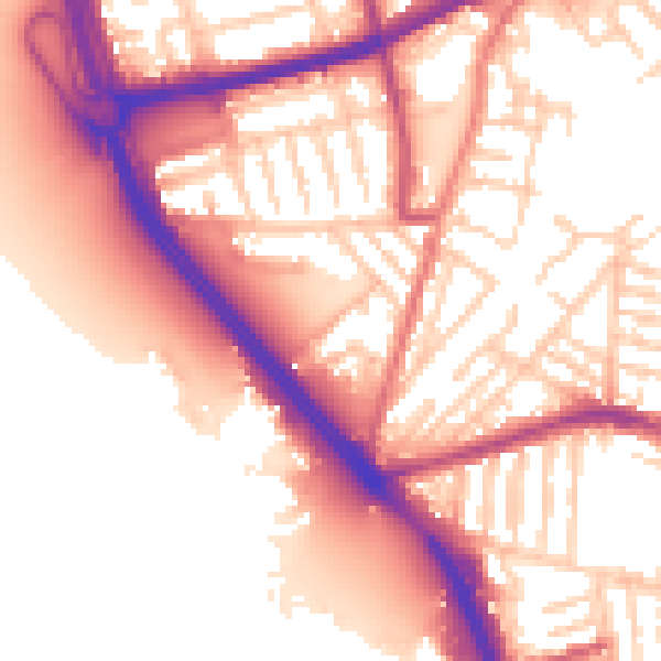
Daytime· 07:00 – 23:00
56.0dB

Night-time· 23:00 – 07:00
47.6dB