2 Seaforth Vale North, Liverpool, L21 3TR
About 2 Seaforth Vale North
2 Seaforth Vale North is an end-of-terrace house in Liverpool (L21 3TR). It has a recorded floor area of 60 m² (around 646 sq ft), construction records dating it to 1900-1929 and council tax band A. The latest certificate (September 2022) shows a C (score 70). The recommended improvements would push it to B (score 88).
Everything you need to know about 2 Seaforth Vale North
The true value, the hidden risks and the full sale history, in one report.
30-day money-back guarantee

The data behind every report


Energy performance
EPC Rating
Planning history
2 Seaforth Vale North has no planning applications on record.
The full report still covers planning activity across the surrounding area.
Sales history & valuation
2 Seaforth Vale North has no Land Registry sales on file, suggesting it has stayed in the same hands since registration began.
£125,000
Modelled from EPC, postcode comparables.
No sales recorded with HM Land Registry
That can mean the property has never traded since the registry began publishing in 1995, was a new build that hasn't been registered yet, or is held in the same hands long-term.
Median price across the last 5 sales in L21 3TR: £44,000 (2023–2013).
Nearby sales in L21 3TR
6 Seaforth Vale North, Liverpool, L21 3TR
Sold Apr 2023
£4,106,50027 Seaforth Vale North, Liverpool, L21 3TR
Sold Oct 2018
£44,00029 Seaforth Vale North, Liverpool, L21 3TR
Sold Jul 2018
£39,95010 Seaforth Vale North, Liverpool, L21 3TR
Sold Feb 2018
£39,00031 Seaforth Vale North, Liverpool, L21 3TR
Sold Jun 2013
£68,000
Versus other Seaforth Vale North homes
EPC Rating for 2 Seaforth Vale North runs comfortably ahead of the street norm.
EPC Rating
70 (C)
Street avg 66 (D)
Floor Area
60 m²
Street avg 59 m²
CO₂ Emissions
2.4 t/year
Street avg 2.6 t/year
Habitable Rooms
3 rooms
Street avg 3 rooms
Everything you need to know about 2 Seaforth Vale North
The true value, the hidden risks and the full sale history, in one report.
30-day money-back guarantee
The data behind every report
Similar properties nearby
1 Hawarden Grove
L21 3TS
11 Lime Grove, Seaforth
L21 3TT
10 Green Lane, Seaforth
L21 3UA
12 Green Lane, Seaforth
L21 3UA
12 Hawarden Grove
L21 3TS
11 Hawarden Grove
L21 3TS
1 Mary Stockton Court, Seaforth Vale West
L21 3UD
10 Kepler Street, Seaforth
L21 3TF
The neighbourhood at a glance
Rail-style transport is unusually close for this postcode.
Crime
4/mo
Rising year-on-year across the wider district.
Nearest stop
0.1 km
Hawarden Grove — bus stop.
Closest school
0.1 km
Our Lady Star of the Sea Catholic Primary School. 34 schools nearby.
Go deeper on the local area
The full report breaks down crime, transport links, schools and air quality in depth.
Road noise across the postcode
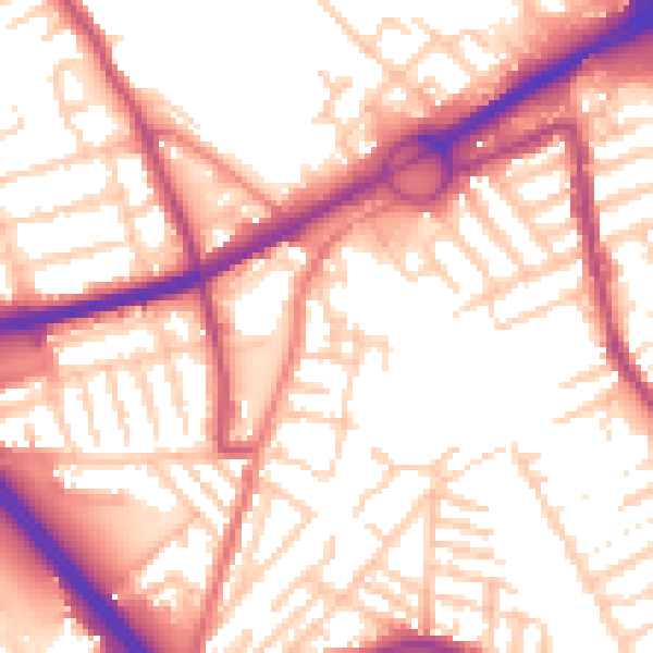
Daytime· 07:00 – 23:00
55.7dB

Night-time· 23:00 – 07:00
46.0dB