8 Seaforth Vale West, Liverpool, L21 3TP
About 8 Seaforth Vale West
8 Seaforth Vale West is a mid-terrace house in Liverpool (L21 3TP). It has a recorded floor area of 58 m² (around 624 sq ft), construction records dating it to 1900-1929 and council tax band A. The latest certificate (April 2022) shows a D (score 66), on the cusp of jumping into the C band. The recommended improvements would lift it to B (score 90), a 2-band jump.
Across 1997–2022, sale prices on this property compounded at 10.8% per year. Today's modelled estimate of £114,000 is 19.4% above the 2022 sale price. On a £-per-square-foot basis, the last sale (£153/sq ft) was about 99% above the typical sold price in the postcode. Most recent transfer: October 2022 at £95,500. That sale was during the post-pandemic price surge, when transactions cleared materially above pre-2020 trend.
Everything you need to know about 8 Seaforth Vale West
The true value, the hidden risks and the full sale history, in one report.
30-day money-back guarantee

The data behind every report


Energy performance
Recommended upgrades on file would lift this property by multiple EPC bands.
EPC Rating
Planning history
8 Seaforth Vale West has no planning applications on record.
The full report still covers planning activity across the surrounding area.
Sales history & valuation
Price for 8 Seaforth Vale West has grown more than fourfold since the 1997 starting point.
£114,000
Modelled from EPC, postcode comparables and a sale-price growth of 10.8% per year over 25 years.
£95,500
Growth on file: 10.8% per year over 25 years.
Sales timeline
27 October 2022Most recent
£95,500
+132.9%over 17 years15 February 2005
£41,000
+30.2%over 2 years12 November 2002
£31,500
+350.0%over 5 years14 May 1997
£7,000
Median price across the last 5 sales in L21 3TP: £87,500 (2023–2005).
Nearby sales in L21 3TP
10 Seaforth Vale West, Liverpool, L21 3TP
Sold May 2023
£98,0004 Seaforth Vale West, Liverpool, L21 3TP
Sold Jan 2022
£87,50015 Seaforth Vale West, Liverpool, L21 3TP
Sold Jan 2009
£50,0001 Seaforth Vale West, Liverpool, L21 3TP
Sold Jul 2005
£93,0002 Seaforth Vale West, Liverpool, L21 3TP
Sold Apr 1995
£24,000
Versus other Seaforth Vale West homes
8 Seaforth Vale West is notably below the street on floor area.
Price per m²
£1,647
Street avg £1,187
Floor Area
58 m²
Street avg 79 m²
Habitable Rooms
4 rooms
Street avg 4 rooms
CO₂ Emissions
2.7 t/year
Street avg 5.2 t/year
Everything you need to know about 8 Seaforth Vale West
The true value, the hidden risks and the full sale history, in one report.
30-day money-back guarantee
The data behind every report
Similar properties nearby
10 Seaforth Vale West
L21 3TP
1 Plum Grove, Seaforth
L21 3AB
1 Seaforth Vale West
L21 3TP
1 Mary Stockton Court, Seaforth Vale West
L21 3UD
10 Kepler Street, Seaforth
L21 3TF
11 Hawarden Grove
L21 3TS
12 Green Lane, Seaforth
L21 3UA
12 Hawarden Grove
L21 3TS
The neighbourhood at a glance
Rail-style transport is unusually close for this postcode.
Crime
4/mo
Rising year-on-year across the wider district.
Nearest stop
0.0 km
Hawarden Grove — bus stop.
Closest school
0.1 km
Our Lady Star of the Sea Catholic Primary School. 32 schools nearby.
Go deeper on the local area
The full report breaks down crime, transport links, schools and air quality in depth.
Road noise across the postcode
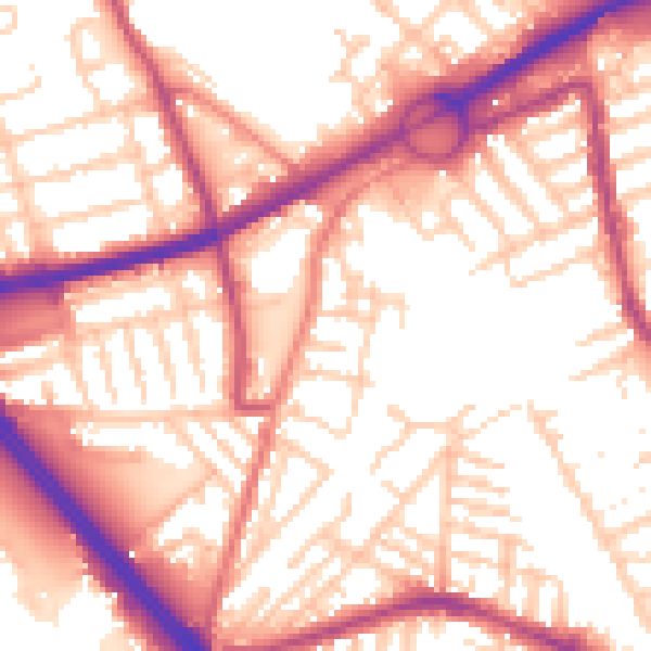
Daytime· 07:00 – 23:00
56.2dB

Night-time· 23:00 – 07:00
46.5dB