18 Henley Avenue, Liverpool, L21 2PU
About 18 Henley Avenue
18 Henley Avenue is a semi-detached house in Liverpool (L21 2PU). It has a recorded floor area of 105 m² (around 1130 sq ft), construction records dating it to 1900-1929 and council tax band B. The latest certificate (January 2017) shows a D (score 55), a step below the typical UK home. The recommended improvements would push it to C (score 78).
At 105 m² the property is well over the postcode median (78 m² across 16 EPCs), placing it in the larger end of the local stock. 2 planning records sit against the property, 1 approved, 1 refused. Past consents include an extension, meaningful when judging how the property has evolved.
Everything you need to know about 18 Henley Avenue
The true value, the hidden risks and the full sale history, in one report.
30-day money-back guarantee

The data behind every report


Energy performance
EPC Rating
Planning history
18 Henley Avenue has 2 separate extension applications on the council record.
- Oct 2003ExtensionFullIn report
Extension: Single storey · Rear of property
Erection of a first floor extension at the rear of the dwelling house (Resubmission of S/2003/0790 refused 27/08/2003).
- Reference
- S/2003/0961
- Aug 2003ExtensionFullIn report
Extension: Single storey · Rear of property
Erection of a first floor extension at the rear of the dwellinghouse.
- Reference
- S/2003/0790
What's in 18 Henley Avenue, Liverpool, L21 2PU's planning history?
Refusals, disputes and full decisions on this property and nearby, in the report.
Sales history & valuation
18 Henley Avenue has no Land Registry sales on file, suggesting it has stayed in the same hands since registration began.
£181,000
Modelled from EPC, postcode comparables.
No sales recorded with HM Land Registry
That can mean the property has never traded since the registry began publishing in 1995, was a new build that hasn't been registered yet, or is held in the same hands long-term.
Median price across the last 5 sales in L21 2PU: £120,000 (2024–2019).
Nearby sales in L21 2PU
Versus other Henley Avenue homes
On floor area, 18 Henley Avenue stands well clear of the street.
EPC Rating
55 (D)
Street avg 60 (D)
Floor Area
105 m²
Street avg 81 m²
CO₂ Emissions
5.9 t/year
Street avg 4.0 t/year
Habitable Rooms
5 rooms
Street avg 5 rooms
Everything you need to know about 18 Henley Avenue
The true value, the hidden risks and the full sale history, in one report.
30-day money-back guarantee
The data behind every report
Similar properties nearby
The neighbourhood at a glance
Rail-style transport is unusually close for this postcode.
Crime
4/mo
Rising year-on-year across the wider district.
Nearest stop
0.1 km
Highfield Road — bus stop.
Closest school
0.6 km
Rimrose Hope CofE Primary School. 36 schools nearby.
Go deeper on the local area
The full report breaks down crime, transport links, schools and air quality in depth.
Road noise across the postcode
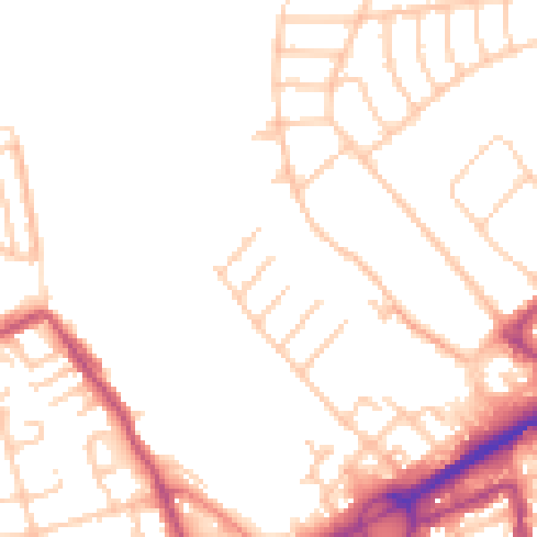
Daytime· 07:00 – 23:00
50.0dB

Night-time· 23:00 – 07:00
40.5dB