Maud Roberts Court, Flat 6, Ruthven Road, Litherland, Liverpool, L21 2PE
About Maud Roberts Court
Maud Roberts Court is a mid-terrace house in Litherland, Liverpool, Liverpool (L21 2PE). It has a recorded floor area of 34 m² (around 366 sq ft), construction records dating it to 1991-1995 and council tax band A. At 34 m² this is the 2nd smallest of 38 units on EPC record in Maud Roberts Court, where floor areas span 33–42 m². The latest certificate (March 2019) shows a C (score 76), near the top of the C band.
Everything you need to know about Maud Roberts Court
The true value, the hidden risks and the full sale history, in one report.
30-day money-back guarantee

The data behind every report


Energy performance
Maud Roberts Court's carbon output is low for the local stock.
EPC Rating
Planning history
Maud Roberts Court has no planning applications on record.
The full report still covers planning activity across the surrounding area.
Sales history & valuation
Maud Roberts Court has no Land Registry sales on file, suggesting it has stayed in the same hands since registration began.
£122,000
Modelled from EPC, postcode comparables.
No sales recorded with HM Land Registry
That can mean the property has never traded since the registry began publishing in 1995, was a new build that hasn't been registered yet, or is held in the same hands long-term.
Median price across the last 5 sales in L21 2PE: £120,000 (2024–2016).
Versus other Ruthven Road homes
EPC Rating
76 (C)
Street avg 76 (C)
Floor Area
34 m²
Street avg 35 m²
CO₂ Emissions
1.2 t/year
Street avg 1.2 t/year
Habitable Rooms
2 rooms
Street avg 2 rooms
Everything you need to know about Maud Roberts Court
The true value, the hidden risks and the full sale history, in one report.
30-day money-back guarantee
The data behind every report
Similar properties nearby
Maud Roberts Court, Flat 10, Ruthven Road, Litherland
L21 2PE
Maud Roberts Court, Flat 11, Ruthven Road, Litherland
L21 2PE
Maud Roberts Court, Flat 12, Ruthven Road, Litherland
L21 2PE
Maud Roberts Court, Flat 14, Ruthven Road, Litherland
L21 2PE
Maud Roberts Court, Flat 15, Ruthven Road, Litherland
L21 2PE
Maud Roberts Court, Flat 16, Ruthven Road, Litherland
L21 2PE
Maud Roberts Court, Flat 17, Ruthven Road, Litherland
L21 2PE
Maud Roberts Court, Flat 18, Ruthven Road, Litherland
L21 2PE
The neighbourhood at a glance
Rail-style transport is unusually close for this postcode.
Crime
4/mo
Rising year-on-year across the wider district.
Nearest stop
0.2 km
Moss Bank Park — bus stop.
Closest school
0.5 km
Rimrose Hope CofE Primary School. 36 schools nearby.
Go deeper on the local area
The full report breaks down crime, transport links, schools and air quality in depth.
Road noise across the postcode
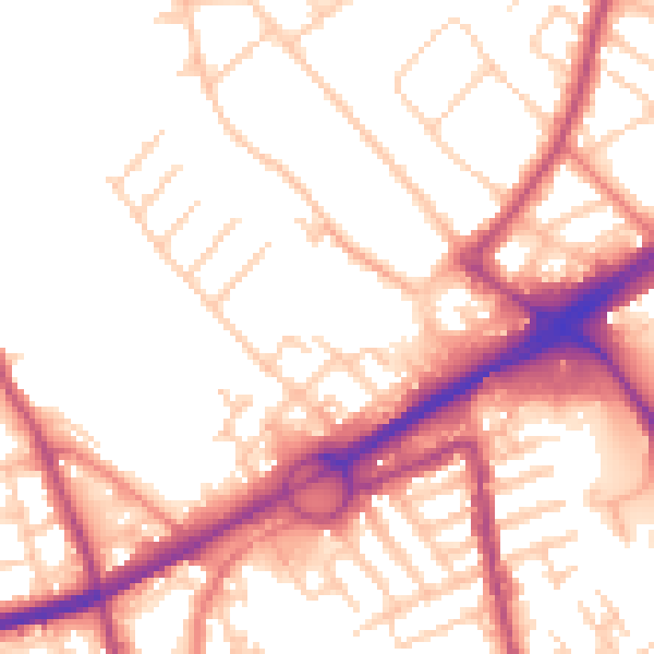
Daytime· 07:00 – 23:00
53.9dB

Night-time· 23:00 – 07:00
44.4dB