29 Ryefield Lane, Liverpool, L21 0HD
About 29 Ryefield Lane
29 Ryefield Lane is a detached house in Liverpool (L21 0HD). It has a recorded floor area of 44 m² (around 474 sq ft), construction records dating it to 1950-1966 and council tax band A. The latest certificate (January 2023) shows a D (score 64), on the cusp of jumping into the C band. The rating has held steady at D across 2 certificates since October 2009. Between certificates, window efficiency went from Average to Good and lighting went from Very Poor to Very Good; while wall efficiency dropped from Good to Average and main heating dropped from Very Good to Good. The recommended improvements would lift it to B (score 87), a 2-band jump.
At 44 m² it sits well below the postcode median (65 m² across 20 EPCs), making it one of the more compact homes locally.
Everything you need to know about 29 Ryefield Lane
The true value, the hidden risks and the full sale history, in one report.
30-day money-back guarantee

The data behind every report


Energy performance
Recommended upgrades on file would lift this property by multiple EPC bands.
EPC Rating
Property Improvements
Changes detected from historical EPC data
Heating controls upgraded for better temperature management
Window efficiency improved
More low energy lighting installed
Planning history
29 Ryefield Lane has no planning applications on record.
Notable planning nearby
3applications of note in the surrounding area
Sales history & valuation
29 Ryefield Lane has no Land Registry sales on file, suggesting it has stayed in the same hands since registration began.
£141,000
Modelled from EPC, postcode comparables.
No sales recorded with HM Land Registry
That can mean the property has never traded since the registry began publishing in 1995, was a new build that hasn't been registered yet, or is held in the same hands long-term.
Median price across the last 1 sales in L21 0HD: £68,500 (2018–2018).
Nearby sales in L21 0HD
Versus other Ryefield Lane homes
29 Ryefield Lane is notably below the street on floor area.
EPC Rating
64 (D)
Street avg 66 (D)
Floor Area
44 m²
Street avg 71 m²
CO₂ Emissions
2.4 t/year
Street avg 2.9 t/year
Habitable Rooms
2 rooms
Street avg 4 rooms
Everything you need to know about 29 Ryefield Lane
The true value, the hidden risks and the full sale history, in one report.
30-day money-back guarantee
The data behind every report
Similar properties nearby
The neighbourhood at a glance
Reported crime in the wider district is trending notably upward year-on-year.
Crime
4/mo
Rising year-on-year across the wider district.
Nearest stop
0.1 km
Ford View — bus stop.
Closest school
0.3 km
Our Lady Queen of Peace Catholic Primary School. 37 schools nearby.
Go deeper on the local area
The full report breaks down crime, transport links, schools and air quality in depth.
Road noise across the postcode
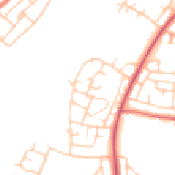
Daytime· 07:00 – 23:00
47.1dB

Night-time· 23:00 – 07:00
38.6dB