6 Meadow View, Liverpool, L21 0HB
About 6 Meadow View
6 Meadow View is a semi-detached house in Liverpool (L21 0HB). It has a recorded floor area of 109 m² (around 1173 sq ft), construction records dating it to 1950-1966 and council tax band A. The latest certificate (October 2014) shows a C (score 69), just inside the C band. The rating has held steady at C across 2 certificates since August 2009. Between certificates, lighting went from Very Poor to Very Good; while roof efficiency dropped from Good to Poor and window efficiency dropped from Good to Average. The recommended improvements would push it to B (score 83). The latest certificate is from October 2014, so improvements made since then won't be reflected.
It hasn't traded since September 2009, a hold of 17 years that's notably long for the area. That sale fell during the post-crash dip, which often skews comparisons against later neighbouring sales. Across 1998–2009, sale prices on this property compounded at 8.9% per year. Today's modelled estimate of £154,000 sits 77% above the 2009 sale of £87,000.
Everything you need to know about 6 Meadow View
The true value, the hidden risks and the full sale history, in one report.
30-day money-back guarantee

The data behind every report


Energy performance
6 Meadow View's EPC is over a decade old — improvements since won't be reflected.
EPC Expired
This certificate is over 10 years old and is no longer valid.Expired 31 Oct 2024
EPC Rating
Property Improvements
Changes detected from historical EPC data
Hot water efficiency decreased
More low energy lighting installed
Planning history
6 Meadow View has no planning applications on record.
Notable planning nearby
3applications of note in the surrounding area
Sales history & valuation
6 Meadow View has more than doubled in price since the earliest registered sale in 1998.
£154,000
Modelled from EPC, postcode comparables and a sale-price growth of 8.9% per year over 11 years.
£87,000
Growth on file: 8.9% per year over 11 years.
Sales timeline
29 September 2009Most recent
£87,000
+155.9%over 10 years1 October 1998
£34,000
Median price across the last 2 sales in L21 0HB: £117,500 (2021–2006).
Versus other Meadow View homes
On floor area, 6 Meadow View stands well clear of the street.
EPC Rating
69 (C)
Street avg 58 (D)
Floor Area
109 m²
Street avg 96 m²
CO₂ Emissions
3.7 t/year
Street avg 4.5 t/year
Habitable Rooms
6 rooms
Street avg 6 rooms
Everything you need to know about 6 Meadow View
The true value, the hidden risks and the full sale history, in one report.
30-day money-back guarantee
The data behind every report
Similar properties nearby
1 Howard Close, Seaforth
L21 0HU
1 Nunsford Close
L21 0JW
1 Bowland Drive
L21 0JA
1 Cemetery Cottages, Sterrix Lane
L21 0DD
1 Kenmore Cottages, Gorsey Lane, Ford
L21 0EH
1 Fulwood Way
L21 0JE
1 Octavia Hill Road
L21 0DY
1 Carr Croft
L21 0HH
The neighbourhood at a glance
Reported crime in the wider district is trending notably upward year-on-year.
Crime
4/mo
Rising year-on-year across the wider district.
Nearest stop
0.1 km
Bridge Croft — bus stop.
Closest school
0.4 km
Our Lady Queen of Peace Catholic Primary School. 37 schools nearby.
Go deeper on the local area
The full report breaks down crime, transport links, schools and air quality in depth.
Road noise across the postcode
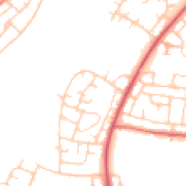
Daytime· 07:00 – 23:00
47.7dB

Night-time· 23:00 – 07:00
39.0dB