18 Four Acre Drive, Liverpool, L21 0ES
About 18 Four Acre Drive
18 Four Acre Drive is a mid-terrace house in Liverpool (L21 0ES). It has a recorded floor area of 77 m² (around 829 sq ft), construction records dating it to 1950-1966 and council tax band A. The latest certificate (July 2012) shows a D (score 65), on the cusp of jumping into the C band. The recommended improvements would lift it to B (score 86), a 2-band jump. The latest certificate is from July 2012, so improvements made since then won't be reflected.
It hasn't traded since February 1998, a hold of 28 years that's notably long for the area. Only one transfer is on record with HM Land Registry, suggesting it has stayed in the same hands for a long time. Today's modelled estimate of £121,000 sits 450% above the 1998 sale of £22,000. On a £-per-square-foot basis, the last sale (£27/sq ft) was about 76.5% below the postcode norm.
Everything you need to know about 18 Four Acre Drive
The true value, the hidden risks and the full sale history, in one report.
30-day money-back guarantee

The data behind every report


Energy performance
Recommended upgrades on file would lift this property by multiple EPC bands.
EPC Expired
This certificate is over 10 years old and is no longer valid.Expired 11 Jul 2022
EPC Rating
Planning history
18 Four Acre Drive has no planning applications on record.
Notable planning nearby
3applications of note in the surrounding area
Sales history & valuation
Latest sale on 18 Four Acre Drive was the lowest on Land Registry record across the postcode.
£121,000
Modelled from EPC, postcode comparables.
£22,000
Recorded with HM Land Registry.
Sales timeline
26 February 1998Most recent
£22,000
Median price across the last 5 sales in L21 0ES: £75,000 (2024–2015).
Versus other Four Acre Drive homes
Price per m² for 18 Four Acre Drive lags the street by a wide margin.
Price per m²
£286
Street avg £1,176
Floor Area
77 m²
Street avg 74 m²
Habitable Rooms
4 rooms
Street avg 4 rooms
CO₂ Emissions
3.3 t/year
Street avg 2.9 t/year
Everything you need to know about 18 Four Acre Drive
The true value, the hidden risks and the full sale history, in one report.
30-day money-back guarantee
The data behind every report
Similar properties nearby
The neighbourhood at a glance
Reported crime in the wider district is trending notably upward year-on-year.
Crime
4/mo
Rising year-on-year across the wider district.
Nearest stop
0.1 km
Green Lane — bus stop.
Closest school
0.3 km
Our Lady Queen of Peace Catholic Primary School. 38 schools nearby.
Go deeper on the local area
The full report breaks down crime, transport links, schools and air quality in depth.
Road noise across the postcode
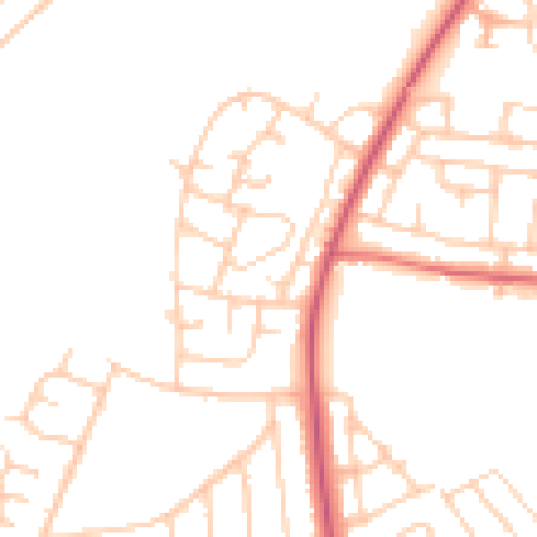
Daytime· 07:00 – 23:00
48.0dB

Night-time· 23:00 – 07:00
39.0dB