37 Kirkstone Road West, Liverpool, L21 0EG
About 37 Kirkstone Road West
37 Kirkstone Road West is a semi-detached house in Liverpool (L21 0EG). It has a recorded floor area of 97 m² (around 1044 sq ft), construction records dating it to 1950-1966 and council tax band C. The latest certificate (December 2012) returns a B (score 84), comfortably above the UK average. The latest certificate is from December 2012, so improvements made since then won't be reflected.
It hasn't traded since August 2003, a hold of 23 years that's notably long for the area. On energy efficiency it sits in the top 10% of properties in this postcode. Today's modelled estimate of £179,000 sits 52.3% above the 2003 sale of £117,519.
Everything you need to know about 37 Kirkstone Road West
The true value, the hidden risks and the full sale history, in one report.
30-day money-back guarantee

The data behind every report


Energy performance
37 Kirkstone Road West ranks among the most efficient homes in the postcode for energy use.
EPC Expired
This certificate is over 10 years old and is no longer valid.Expired 15 Dec 2022
EPC Rating
Planning history
37 Kirkstone Road West has no planning applications on record.
Notable planning nearby
3applications of note in the surrounding area
Sales history & valuation
37 Kirkstone Road West valuation sits well clear of the typical sold price in this postcode.
£179,000
Modelled from EPC, postcode comparables.
£117,519
Recorded with HM Land Registry.
Sales timeline
7 August 2003Most recent
£117,519
Median price across the last 5 sales in L21 0EG: £170,000 (2024–2020).
Nearby sales in L21 0EG
39 Kirkstone Road West, Liverpool, L21 0EG
Sold Dec 2024
£170,0005 Kirkstone Road West, Liverpool, L21 0EG
Sold May 2022
£182,00063 Kirkstone Road West, Liverpool, L21 0EG
Sold Sept 2021
£185,00057 Kirkstone Road West, Liverpool, L21 0EG
Sold Jun 2020
£151,0003 Kirkstone Road West, Liverpool, L21 0EG
Sold May 2018
£115,000
Versus other Kirkstone Road West homes
On years held, 37 Kirkstone Road West stands well clear of the street.
Price per m²
£1,212
Street avg £1,402
Floor Area
97 m²
Street avg 105 m²
Habitable Rooms
4 rooms
Street avg 6 rooms
CO₂ Emissions
2.2 t/year
Street avg 4.5 t/year
Everything you need to know about 37 Kirkstone Road West
The true value, the hidden risks and the full sale history, in one report.
30-day money-back guarantee
The data behind every report
Similar properties nearby
1 Octavia Hill Road
L21 0DY
1 Bowland Drive
L21 0JA
1 Ford Lane
L21 0HG
1 Kirkstone Road West
L21 0EG
1 Howard Close, Seaforth
L21 0HU
1 Nunsford Close
L21 0JW
1 Cemetery Cottages, Sterrix Lane
L21 0DD
1 Kenmore Cottages, Gorsey Lane, Ford
L21 0EH
The neighbourhood at a glance
Reported crime in the wider district is trending notably upward year-on-year.
Crime
4/mo
Rising year-on-year across the wider district.
Nearest stop
0.1 km
Ford Lane — bus stop.
Closest school
0.1 km
Hatton Hill Primary School. 37 schools nearby.
Go deeper on the local area
The full report breaks down crime, transport links, schools and air quality in depth.
Road noise across the postcode
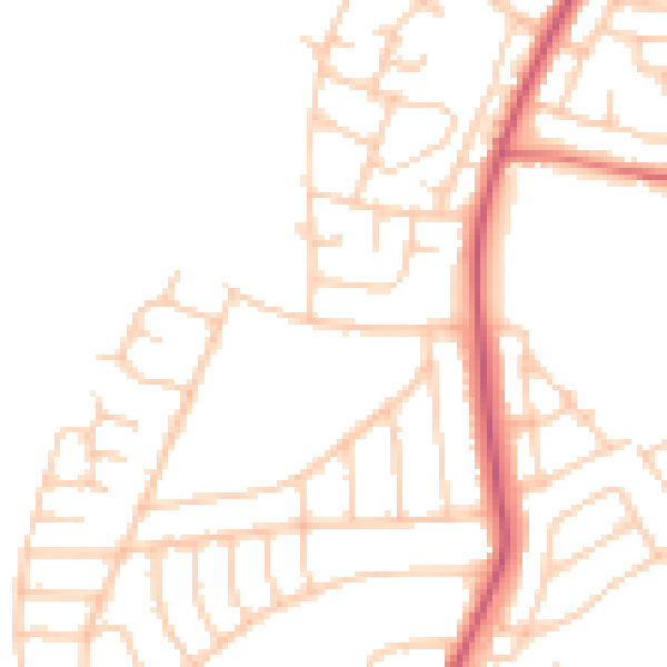
Daytime· 07:00 – 23:00
48.3dB

Night-time· 23:00 – 07:00
38.8dB