8 Wheatfield View, Liverpool, L21 0DT
About 8 Wheatfield View
8 Wheatfield View is an end-of-terrace house in Liverpool (L21 0DT). It has a recorded floor area of 141 m² (around 1518 sq ft), construction records dating it to 1950-1966 and council tax band A. The latest certificate (December 2017) shows a C (score 72). The recommended improvements would push it to B (score 82).
At 141 m² the property is well over the postcode median (75 m² across 17 EPCs), placing it in the larger end of the local stock.
Everything you need to know about 8 Wheatfield View
The true value, the hidden risks and the full sale history, in one report.
30-day money-back guarantee

The data behind every report


Energy performance
EPC Rating
Planning history
8 Wheatfield View has no planning applications on record.
Notable planning nearby
3applications of note in the surrounding area
Sales history & valuation
8 Wheatfield View has no Land Registry sales on file, suggesting it has stayed in the same hands since registration began.
£176,000
Modelled from EPC, postcode comparables.
No sales recorded with HM Land Registry
That can mean the property has never traded since the registry began publishing in 1995, was a new build that hasn't been registered yet, or is held in the same hands long-term.
Median price across the last 1 sales in L21 0DT: £18,900 (2004–2004).
Nearby sales in L21 0DT
Versus other Wheatfield View homes
Habitable Rooms for 8 Wheatfield View runs comfortably ahead of the street norm.
EPC Rating
72 (C)
Street avg 67 (D)
Floor Area
141 m²
Street avg 100 m²
CO₂ Emissions
4.1 t/year
Street avg 3.7 t/year
Habitable Rooms
6 rooms
Street avg 5 rooms
Everything you need to know about 8 Wheatfield View
The true value, the hidden risks and the full sale history, in one report.
30-day money-back guarantee
The data behind every report
Similar properties nearby
1 Bowland Drive
L21 0JA
1 Octavia Hill Road
L21 0DY
1 Ford Lane
L21 0HG
1 Kirkstone Road West
L21 0EG
1 Howard Close, Seaforth
L21 0HU
1 Nunsford Close
L21 0JW
1 Cemetery Cottages, Sterrix Lane
L21 0DD
1 Kenmore Cottages, Gorsey Lane, Ford
L21 0EH
The neighbourhood at a glance
Reported crime in the wider district is trending notably upward year-on-year.
Crime
4/mo
Rising year-on-year across the wider district.
Nearest stop
0.1 km
Farm View — bus stop.
Closest school
0.2 km
Our Lady Queen of Peace Catholic Primary School. 37 schools nearby.
Go deeper on the local area
The full report breaks down crime, transport links, schools and air quality in depth.
Road noise across the postcode
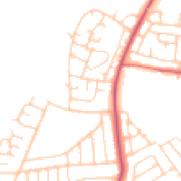
Daytime· 07:00 – 23:00
48.4dB
Night-time· 23:00 – 07:00
39.0dB