260 Bedford Road, Bootle, L20 9NE
About 260 Bedford Road
260 Bedford Road is a four-bedroom mid-terrace house in Bootle (L20 9NE). It has a recorded floor area of 117 m² (around 1259 sq ft), construction records dating it to 1900-1929 and council tax band A. The latest certificate (January 2017) shows a D (score 59), a step below the typical UK home. The recommended improvements would push it to C (score 76). Other recorded features include a loft.
What this property has
Inside
- Bedrooms4
- Bathrooms1
- Dining roomYes
- EnsuiteYes
- LoftYes
Building
- RefurbishedYes
Everything you need to know about 260 Bedford Road
The true value, the hidden risks and the full sale history, in one report.
30-day money-back guarantee

The data behind every report


Energy performance
EPC Rating
Planning history
260 Bedford Road has no planning applications on record.
Notable planning nearby
7applications of note in the surrounding area
We flagged 1 thing worth checking at 260 Bedford Road
Independent checks surfaced things a buyer would want to understand before offering. The report explains each one in full, with the underlying data and what to ask.
- Signs of HMO activity in the area
30-day money-back guarantee
Sales history & valuation
260 Bedford Road has no Land Registry sales on file, suggesting it has stayed in the same hands since registration began.
£158,000
Modelled from EPC, postcode comparables.
No sales recorded with HM Land Registry
That can mean the property has never traded since the registry began publishing in 1995, was a new build that hasn't been registered yet, or is held in the same hands long-term.
Median price across the last 5 sales in L20 9NE: £86,000 (2023–2007).
Versus other Bedford Road homes
On epc rating, 260 Bedford Road stands well clear of the street.
EPC Rating
59 (D)
Street avg 48 (E)
Floor Area
117 m²
Street avg 112 m²
CO₂ Emissions
5.7 t/year
Street avg 7.2 t/year
Habitable Rooms
5 rooms
Street avg 6 rooms
Everything you need to know about 260 Bedford Road
The true value, the hidden risks and the full sale history, in one report.
30-day money-back guarantee
The data behind every report
Similar properties nearby
1 Downing Road
L20 9LS
1 Hillside Close
L20 9NT
1 Bedford Villas, 207 Bedford Road
L20 9QB
1 Clare Villas, 4 Clare Road
L20 9QD
1 Edith Villas, Fernhill Road
L20 9HT
1 Fernhill Close
L20 9JR
1 Gonville Road
L20 9LN
1 Harrison Drive
L20 9JL
The neighbourhood at a glance
Rail-style transport is unusually close for this postcode.
Crime
7/mo
Rising year-on-year across the wider district.
Nearest stop
0.1 km
Roxburgh Street — bus stop.
Closest school
0.3 km
Bedford Primary School. 39 schools nearby.
Go deeper on the local area
The full report breaks down crime, transport links, schools and air quality in depth.
Road noise across the postcode
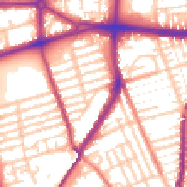
Daytime· 07:00 – 23:00
56.6dB

Night-time· 23:00 – 07:00
47.6dB