11 Oxford Road, Bootle, L20 9HJ
About 11 Oxford Road
11 Oxford Road is a semi-detached house in Bootle (L20 9HJ). It has a recorded floor area of 70 m² (around 753 sq ft). The latest certificate (July 2019) returns a B (score 82), comfortably above the UK average. The recommended improvements would push it to A (score 95).
At 70 m² it sits well below the postcode median (175 m² across 11 EPCs), making it one of the more compact homes locally.
Everything you need to know about 11 Oxford Road
The true value, the hidden risks and the full sale history, in one report.
30-day money-back guarantee

The data behind every report


Energy performance
11 Oxford Road's carbon output is low for the local stock.
EPC Rating
Planning history
11 Oxford Road has no planning applications on record.
Notable planning nearby
7applications of note in the surrounding area
We flagged 1 thing worth checking at 11 Oxford Road
Independent checks surfaced things a buyer would want to understand before offering. The report explains each one in full, with the underlying data and what to ask.
- Signs of HMO activity in the area
30-day money-back guarantee
Sales history & valuation
11 Oxford Road has no Land Registry sales on file, suggesting it has stayed in the same hands since registration began.
£152,000
Modelled from EPC, postcode comparables.
No sales recorded with HM Land Registry
That can mean the property has never traded since the registry began publishing in 1995, was a new build that hasn't been registered yet, or is held in the same hands long-term.
Median price across the last 3 sales in L20 9HJ: £90,000 (2011–1999).
Versus other Oxford Road homes
On epc rating, 11 Oxford Road stands well clear of the street.
EPC Rating
82 (B)
Street avg 63 (D)
Floor Area
70 m²
Street avg 156 m²
CO₂ Emissions
1.3 t/year
Street avg 7.5 t/year
Everything you need to know about 11 Oxford Road
The true value, the hidden risks and the full sale history, in one report.
30-day money-back guarantee
The data behind every report
Similar properties nearby
1 Clare Villas, 4 Clare Road
L20 9QD
1 Bedford Villas, 207 Bedford Road
L20 9QB
1 Gloucester Road
L20 9AH
1 Edith Villas, Fernhill Road
L20 9HT
1 Fernhill Close
L20 9JR
1 Oxford Road
L20 9HJ
1 Fernhill Way
L20 9JU
1 Fernhill Gardens
L20 9HA
The neighbourhood at a glance
Reported crime in the wider district is trending notably upward year-on-year.
Crime
7/mo
Rising year-on-year across the wider district.
Nearest stop
0.0 km
Worcester Road — bus stop.
Closest school
0.3 km
Bedford Primary School. 39 schools nearby.
Go deeper on the local area
The full report breaks down crime, transport links, schools and air quality in depth.
Road noise across the postcode
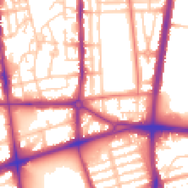
Daytime· 07:00 – 23:00
57.2dB

Night-time· 23:00 – 07:00
48.3dB