3 Fernhill Gardens, Bootle, L20 9HA
About 3 Fernhill Gardens
3 Fernhill Gardens is a semi-detached house in Bootle (L20 9HA). It has a recorded floor area of 88 m² (around 947 sq ft), construction records dating it to 1950-1966 and council tax band A. The latest certificate (September 2019) shows a C (score 69), just inside the C band. When first surveyed in April 2016 the rating was D, the property has climbed 1 band since. Between certificates, wall efficiency went from Poor to Average and lighting went from Very Poor to Very Good; while roof efficiency dropped from Good to Average and hot-water efficiency dropped from Very Good to Good. The recommended improvements would push it to B (score 81).
It hasn't traded since October 2001, a hold of 25 years that's notably long for the area. Today's modelled estimate of £170,000 sits 214.8% above the 2001 sale of £54,000. On a £-per-square-foot basis, the last sale (£57/sq ft) was about 44.9% below the postcode norm.
Everything you need to know about 3 Fernhill Gardens
The true value, the hidden risks and the full sale history, in one report.
30-day money-back guarantee

The data behind every report


Energy performance
EPC Rating
Property Improvements
Changes detected from historical EPC data
Hot water efficiency decreased
Cavity wall insulation installed
More low energy lighting installed
Planning history
3 Fernhill Gardens has no planning applications on record.
Notable planning nearby
7applications of note in the surrounding area
We flagged 1 thing worth checking at 3 Fernhill Gardens
Independent checks surfaced things a buyer would want to understand before offering. The report explains each one in full, with the underlying data and what to ask.
- Signs of HMO activity in the area
30-day money-back guarantee
Sales history & valuation
3 Fernhill Gardens's estimated value is more than triple its earliest registered sale price (2001).
£170,000
Modelled from EPC, postcode comparables.
£54,000
Recorded with HM Land Registry.
Sales timeline
21 October 2001Most recent
£54,000
Median price across the last 5 sales in L20 9HA: £88,000 (2024–2002).
Versus other Fernhill Gardens homes
3 Fernhill Gardens is notably below the street on price per m².
Price per m²
£614
Street avg £1,802
Floor Area
88 m²
Street avg 84 m²
Habitable Rooms
4 rooms
Street avg 5 rooms
CO₂ Emissions
3.3 t/year
Street avg 3.3 t/year
Everything you need to know about 3 Fernhill Gardens
The true value, the hidden risks and the full sale history, in one report.
30-day money-back guarantee
The data behind every report
Similar properties nearby
The neighbourhood at a glance
Reported crime in the wider district is trending notably upward year-on-year.
Crime
7/mo
Rising year-on-year across the wider district.
Nearest stop
0.1 km
Breeze Hill — bus stop.
Closest school
0.2 km
Hillside High School. 41 schools nearby.
Go deeper on the local area
The full report breaks down crime, transport links, schools and air quality in depth.
Road noise across the postcode

Daytime· 07:00 – 23:00
55.8dB
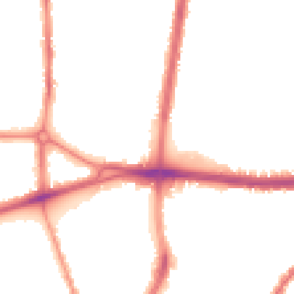
Night-time· 23:00 – 07:00
46.7dB