54 Lincoln Crescent, Bootle, L20 7EB
About 54 Lincoln Crescent
54 Lincoln Crescent is a three-bedroom end-of-terrace house in Bootle (L20 7EB). It has a recorded floor area of 80 m² (around 861 sq ft) and council tax band B. The latest certificate (May 2018) returns a B (score 81), comfortably above the UK average. The rating has held steady at B across 2 certificates since August 2011. Between certificates, window efficiency dropped from Very Good to Good.
At 80 m² it's 25% larger than the typical home in the postcode (64 m² median across 35 EPCs). On a £-per-square-foot basis, the last sale (£192/sq ft) was about 46.4% above the typical sold price in the postcode. Most recent transfer: November 2024 at £165,000.
What this property has
Inside
- Bedrooms3
- Bathrooms2
Everything you need to know about 54 Lincoln Crescent
The true value, the hidden risks and the full sale history, in one report.
30-day money-back guarantee

The data behind every report


Energy performance
54 Lincoln Crescent's carbon output is low for the local stock.
EPC Rating
Property Improvements
Changes detected from historical EPC data
Heating controls changed
More low energy lighting installed
Solar water heating installed
Planning history
54 Lincoln Crescent has no planning applications on record.
Notable planning nearby
3applications of note in the surrounding area
Sales history & valuation
54 Lincoln Crescent valuation sits well clear of the typical sold price in this postcode.
£181,000
Modelled from EPC, postcode comparables.
£165,000
Recorded with HM Land Registry.
Sales timeline
29 November 2024Most recent
£165,000
Median price across the last 5 sales in L20 7EB: £167,000 (2025–2021).
Nearby sales in L20 7EB
Versus other Lincoln Crescent homes
54 Lincoln Crescent is notably below the street on years held.
Price per m²
£2,063
Street avg £1,507
Floor Area
80 m²
Street avg 103 m²
Habitable Rooms
5 rooms
Street avg 5 rooms
CO₂ Emissions
1.5 t/year
Street avg 1.8 t/year
Everything you need to know about 54 Lincoln Crescent
The true value, the hidden risks and the full sale history, in one report.
30-day money-back guarantee
The data behind every report
Similar properties nearby
1 Nuffield Road
L20 7ES
1 Othello Close
L20 7EX
1 Peterhouse Mews
L20 7DJ
10 Kings Road
L20 7BG
1 Viola Street
L20 7DP
10 Alundale Court, Clairville Close
L20 7HJ
1 Grant Court, Clairville Close
L20 7HL
1 Lincoln Crescent
L20 7EB
The neighbourhood at a glance
Rail-style transport is unusually close for this postcode.
Crime
7/mo
Rising year-on-year across the wider district.
Nearest stop
0.1 km
Marble Close — bus stop.
Closest school
0.2 km
Hugh Baird College. 33 schools nearby.
Go deeper on the local area
The full report breaks down crime, transport links, schools and air quality in depth.
Road noise across the postcode
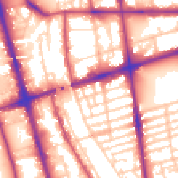
Daytime· 07:00 – 23:00
58.5dB

Night-time· 23:00 – 07:00
50.3dB