58 Keble Road, Bootle, L20 7DF
About 58 Keble Road
58 Keble Road is a mid-terrace house in Bootle (L20 7DF). It has a recorded floor area of 126 m² (around 1356 sq ft) and construction records dating it to 1900-1929. The latest certificate (November 2019) shows a D (score 59), a step below the typical UK home.
Across 2015–2025, sale prices on this property compounded at 15.3% per year. Today's modelled estimate of £130,000 is 18.8% below the 2025 sale of £160,009, an unusual pattern given regional price growth and worth checking against the EPC condition. On a £-per-square-foot basis, the last sale (£118/sq ft) was about 38% above the typical sold price in the postcode. At 126 m² the property is well over the postcode median (79 m² across 38 EPCs), placing it in the larger end of the local stock. It changed hands recently, sold March 2025 for £160,009. One historical planning record sits against the property in 2018.
Everything you need to know about 58 Keble Road
The true value, the hidden risks and the full sale history, in one report.
30-day money-back guarantee

The data behind every report


Energy performance
EPC Rating
Planning history
- Jul 2018HMOOutlineIn report
Certificate of lawfulness for the proposed use of an existing 5-bedroom dwelling (C3) to a 6-person house in Multiple Occupation (C4)
- Agent
- The Planning Group Ltd
- Documents
- 6 docs on file
- Reference
- DC/2018/00956
What's in 58 Keble Road, Bootle, L20 7DF's planning history?
Refusals, disputes and full decisions on this property and nearby, in the report.
Sales history & valuation
Latest sale on 58 Keble Road was the highest on Land Registry record across the postcode.
£130,000
Modelled from EPC, postcode comparables and a sale-price growth of 15.3% per year over 10 years.
£160,009
Growth on file: 15.3% per year over 10 years.
Sales timeline
14 March 2025Most recent
£160,009
+318.3%over 10 years20 February 2015
£38,250
Median price across the last 5 sales in L20 7DF: £90,000 (2025–2024).
Versus other Keble Road homes
Years Held for 58 Keble Road lags the street by a wide margin.
Price per m²
£1,270
Street avg £1,169
Floor Area
126 m²
Street avg 100 m²
Habitable Rooms
5 rooms
Street avg 6 rooms
CO₂ Emissions
5.9 t/year
Street avg 3.3 t/year
Everything you need to know about 58 Keble Road
The true value, the hidden risks and the full sale history, in one report.
30-day money-back guarantee
The data behind every report
Similar properties nearby
The neighbourhood at a glance
Rail-style transport is unusually close for this postcode.
Crime
7/mo
Rising year-on-year across the wider district.
Nearest stop
0.1 km
Keble Road — bus stop.
Closest school
0.2 km
Hugh Baird College. 35 schools nearby.
Go deeper on the local area
The full report breaks down crime, transport links, schools and air quality in depth.
Road noise across the postcode
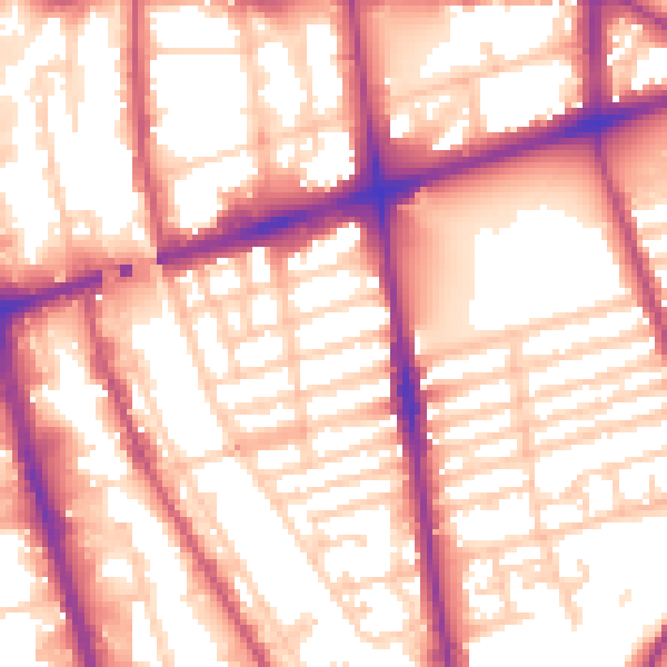
Daytime· 07:00 – 23:00
57.2dB

Night-time· 23:00 – 07:00
48.8dB