17 Johnston Avenue, Bootle, L20 6HE
About 17 Johnston Avenue
17 Johnston Avenue is a two-bedroom semi-detached house in Bootle (L20 6HE). It has a recorded floor area of 70 m² (around 753 sq ft), construction records dating it to 1983-1990 and council tax band B. The latest certificate (September 2018) shows a D (score 65), on the cusp of jumping into the C band. The recommended improvements would lift it to B (score 89), a 2-band jump.
Across 2019–2022, sale prices on this property compounded at 10.5% per year. Today's modelled estimate of £176,000 is 19.7% above the 2022 sale price. On a £-per-square-foot basis, the last sale (£195/sq ft) was about 48% above the typical sold price in the postcode. Last sale on file: £147,000 in April 2022. That sale was during the post-pandemic price surge, when transactions cleared materially above pre-2020 trend.
What this property has
Inside
- Bedrooms2
- Bathrooms1
Everything you need to know about 17 Johnston Avenue
The true value, the hidden risks and the full sale history, in one report.
30-day money-back guarantee

The data behind every report


Energy performance
Recommended upgrades on file would lift this property by multiple EPC bands.
EPC Rating
Planning history
17 Johnston Avenue has no planning applications on record.
Notable planning nearby
1applications of note in the surrounding area
Sales history & valuation
The latest sale landed in the post-pandemic price surge — useful context when reading the figure.
£176,000
Modelled from EPC, postcode comparables and a sale-price growth of 10.5% per year over 3 years.
£147,000
Growth on file: 10.5% per year over 3 years.
Sales timeline
4 April 2022Most recent
£147,000
+36.1%over 3 years6 March 2019
£108,000
Median price across the last 5 sales in L20 6HE: £120,000 (2020–2004).
Versus other Johnston Avenue homes
On price per m², 17 Johnston Avenue stands well clear of the street.
Price per m²
£2,100
Street avg £1,311
Floor Area
70 m²
Street avg 78 m²
Habitable Rooms
4 rooms
Street avg 5 rooms
CO₂ Emissions
3.2 t/year
Street avg 3.2 t/year
Everything you need to know about 17 Johnston Avenue
The true value, the hidden risks and the full sale history, in one report.
30-day money-back guarantee
The data behind every report
Similar properties nearby
The neighbourhood at a glance
Reported crime in the wider district is trending notably upward year-on-year.
Crime
7/mo
Rising year-on-year across the wider district.
Nearest stop
0.1 km
Pennington Avenue — bus stop.
Closest school
0.5 km
Springwell Park Community Primary School. 40 schools nearby.
Go deeper on the local area
The full report breaks down crime, transport links, schools and air quality in depth.
Road noise across the postcode
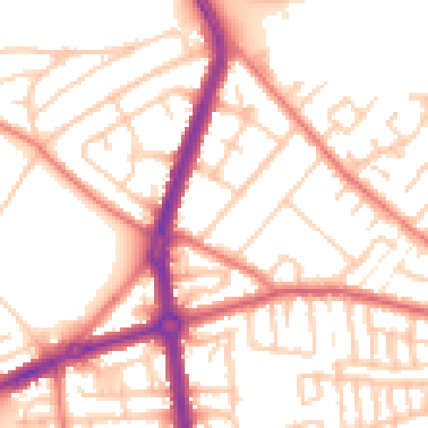
Daytime· 07:00 – 23:00
53.3dB

Night-time· 23:00 – 07:00
42.8dB