14 Ken Mews, Bootle, L20 6GF
About 14 Ken Mews
14 Ken Mews is an end-of-terrace house in Bootle (L20 6GF). It has a recorded floor area of 28 m² (around 297 sq ft), construction records dating it to 1996-2002 and council tax band A. At 28 m² this is the smallest unit on EPC record across the building (28–132 m²). The building's EPC ratings span C to B, with this unit at the bottom. The latest certificate (May 2011) shows a C (score 77), near the top of the C band. Earlier certificates rated it B (March 2009); the latest reading is one band lower. Between certificates, lighting went from Average to Very Good; while wall efficiency dropped from Very Good to Good and roof efficiency dropped from Very Good to Good. The latest certificate is from May 2011, so improvements made since then won't be reflected.
At 28 m² it sits well below the postcode median (46 m² across 27 EPCs), making it one of the more compact homes locally.
Everything you need to know about 14 Ken Mews
The true value, the hidden risks and the full sale history, in one report.
30-day money-back guarantee

The data behind every report


Energy performance
14 Ken Mews's carbon output is low for the local stock.
EPC Expired
This certificate is over 10 years old and is no longer valid.Expired 13 May 2021
EPC Rating
Property Improvements
Changes detected from historical EPC data
More low energy lighting installed
Planning history
14 Ken Mews has no planning applications on record.
Notable planning nearby
1applications of note in the surrounding area
Sales history & valuation
14 Ken Mews has no Land Registry sales on file, suggesting it has stayed in the same hands since registration began.
£122,000
Modelled from EPC, postcode comparables.
No sales recorded with HM Land Registry
That can mean the property has never traded since the registry began publishing in 1995, was a new build that hasn't been registered yet, or is held in the same hands long-term.
Median price across the last 5 sales in L20 6GF: £141,995 (2021–2009).
Versus other Ken Mews homes
CO₂ Emissions for 14 Ken Mews runs comfortably ahead of the street norm.
EPC Rating
77 (C)
Street avg 81 (C)
Floor Area
28 m²
Street avg 31 m²
CO₂ Emissions
0.9 t/year
Street avg 1.1 t/year
Habitable Rooms
2 rooms
Street avg 3 rooms
Everything you need to know about 14 Ken Mews
The true value, the hidden risks and the full sale history, in one report.
30-day money-back guarantee
The data behind every report
Similar properties nearby
The neighbourhood at a glance
Reported crime in the wider district is trending notably upward year-on-year.
Crime
7/mo
Rising year-on-year across the wider district.
Nearest stop
0.1 km
Orrell Mount — bus stop.
Closest school
0.2 km
St Elizabeth's Catholic Primary School. 40 schools nearby.
Go deeper on the local area
The full report breaks down crime, transport links, schools and air quality in depth.
Road noise across the postcode
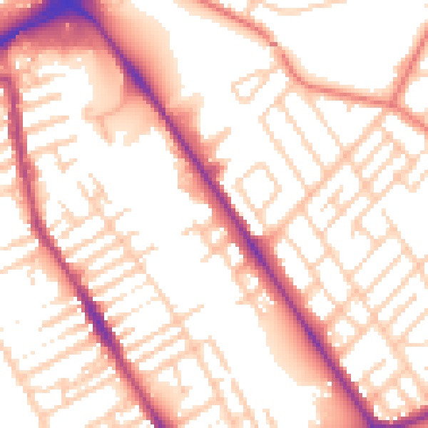
Daytime· 07:00 – 23:00
54.8dB

Night-time· 23:00 – 07:00
44.9dB