10 Heathfield Drive, Bootle, L20 6GE
About 10 Heathfield Drive
10 Heathfield Drive is a three-bedroom semi-detached house in Bootle (L20 6GE). It has a recorded floor area of 76 m² (around 818 sq ft), construction records dating it to 2007 onwards and council tax band B. The latest certificate (June 2020) shows a C (score 77), near the top of the C band. Earlier certificates rated it B (October 2008); the latest reading is one band lower. The recommended improvements would push it to B (score 90).
At 76 m² it's 15.2% larger than the typical home in the postcode (66 m² median across 47 EPCs). Across 2009–2024, sale prices on this property compounded at 1.5% per year. Today's modelled estimate of £185,000 is 12.1% above the 2024 sale price. Last sale on file: £165,000 in September 2024.
What this property has
Inside
- Bedrooms3
- Bathrooms1
- CloakroomYes
Outside
- Private gardenYes
- ParkingOff road
Building
- RefurbishedYes
Everything you need to know about 10 Heathfield Drive
The true value, the hidden risks and the full sale history, in one report.
30-day money-back guarantee

The data behind every report


Energy performance
EPC Rating
Property Improvements
Changes detected from historical EPC data
More low energy lighting installed
Heating controls upgraded for better temperature management
Loft insulation upgraded to recommended levels
Planning history
10 Heathfield Drive has no planning applications on record.
Notable planning nearby
1applications of note in the surrounding area
Sales history & valuation
10 Heathfield Drive valuation sits well clear of the typical sold price in this postcode.
£185,000
Modelled from EPC, postcode comparables and a sale-price growth of 1.5% per year over 16 years.
£165,000
Growth on file: 1.5% per year over 16 years.
Sales timeline
16 September 2024Most recent
£165,000
+27.0%over 15 years27 February 2009
£129,950
Median price across the last 5 sales in L20 6GE: £142,500 (2024–2022).
Nearby sales in L20 6GE
Versus other Heathfield Drive homes
Years Held for 10 Heathfield Drive lags the street by a wide margin.
Price per m²
£2,171
Street avg £1,693
Floor Area
76 m²
Street avg 69 m²
Habitable Rooms
4 rooms
Street avg 4 rooms
CO₂ Emissions
1.9 t/year
Street avg 1.8 t/year
Everything you need to know about 10 Heathfield Drive
The true value, the hidden risks and the full sale history, in one report.
30-day money-back guarantee
The data behind every report
Similar properties nearby
The neighbourhood at a glance
Reported crime in the wider district is trending notably upward year-on-year.
Crime
7/mo
Rising year-on-year across the wider district.
Nearest stop
0.1 km
Havelock Road — bus stop.
Closest school
0.1 km
St Elizabeth's Catholic Primary School. 40 schools nearby.
Go deeper on the local area
The full report breaks down crime, transport links, schools and air quality in depth.
Road noise across the postcode
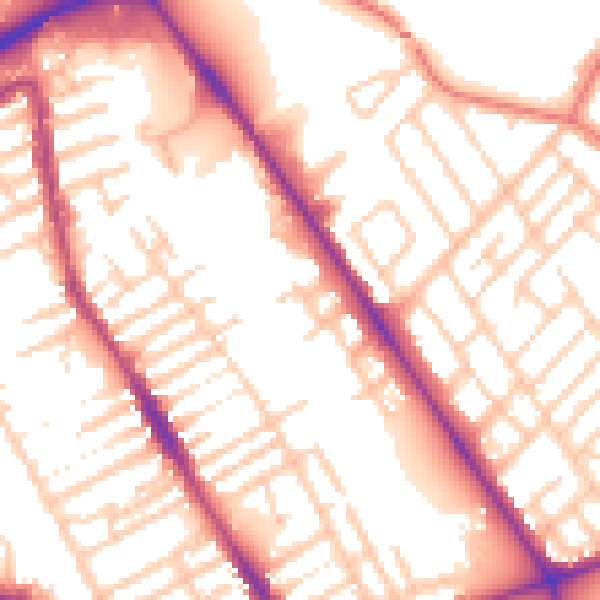
Daytime· 07:00 – 23:00
54.8dB

Night-time· 23:00 – 07:00
45.1dB