15 Fairlie Crescent, Bootle, L20 6EN
About 15 Fairlie Crescent
15 Fairlie Crescent is a three-bedroom semi-detached house in Bootle (L20 6EN). It has a recorded floor area of 95 m² (around 1023 sq ft), construction records dating it to 1900-1929 and council tax band B. The latest certificate (May 2018) shows a D (score 64), on the cusp of jumping into the C band. The recommended improvements would lift it to B (score 84), a 2-band jump. Other recorded features include a conservatory.
Untraded for 23 years, with the last transfer in May 2003. Across 1995–2003, sale prices on this property compounded at 12.4% per year. Today's modelled estimate of £217,000 sits 102.8% above the 2003 sale of £107,000.
What this property has
Inside
- Bedrooms3
- Bathrooms1
- Dining roomYes
- ConservatoryYes
Outside
- Private gardenYes
- ParkingOff road
Building
- Heating systemGas
Everything you need to know about 15 Fairlie Crescent
The true value, the hidden risks and the full sale history, in one report.
30-day money-back guarantee

The data behind every report


Energy performance
Recommended upgrades on file would lift this property by multiple EPC bands.
EPC Rating
Planning history
15 Fairlie Crescent has no planning applications on record.
Notable planning nearby
1applications of note in the surrounding area
Sales history & valuation
15 Fairlie Crescent has more than doubled in price since the earliest registered sale in 1995.
£217,000
Modelled from EPC, postcode comparables and a sale-price growth of 12.4% per year over 8 years.
£107,000
Growth on file: 12.4% per year over 8 years.
Sales timeline
29 May 2003Most recent
£107,000
+146.0%over 7 years7 September 1995
£43,500
Median price across the last 5 sales in L20 6EN: £132,000 (2020–2005).
Nearby sales in L20 6EN
Versus other Fairlie Crescent homes
15 Fairlie Crescent is notably below the street on price per m².
Price per m²
£1,126
Street avg £1,378
Floor Area
95 m²
Street avg 89 m²
Habitable Rooms
4 rooms
Street avg 5 rooms
CO₂ Emissions
4.1 t/year
Street avg 3.8 t/year
Everything you need to know about 15 Fairlie Crescent
The true value, the hidden risks and the full sale history, in one report.
30-day money-back guarantee
The data behind every report
Similar properties nearby
The neighbourhood at a glance
Reported crime in the wider district is trending notably upward year-on-year.
Crime
7/mo
Rising year-on-year across the wider district.
Nearest stop
0.2 km
Park Lane — bus stop.
Closest school
0.2 km
Springwell Park Community Primary School. 38 schools nearby.
Go deeper on the local area
The full report breaks down crime, transport links, schools and air quality in depth.
Road noise across the postcode
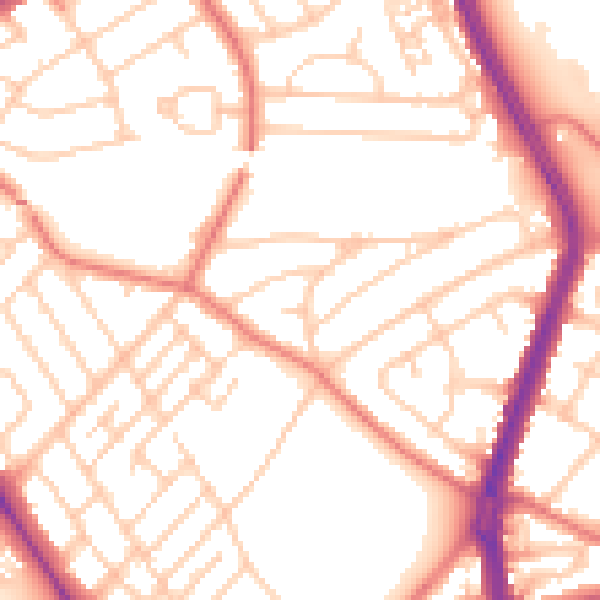
Daytime· 07:00 – 23:00
53.2dB

Night-time· 23:00 – 07:00
42.4dB