155 Peel Road, Bootle, L20 4JX
About 155 Peel Road
155 Peel Road is a semi-detached house in Bootle (L20 4JX). It has a recorded floor area of 41 m² (around 441 sq ft) and construction records dating it to 1983-1990. At 41 m² this is the 5th smallest of 22 units on EPC record in the building, where floor areas span 35–134 m². The building's EPC ratings span E to C, with this unit at the top. The latest certificate (January 2019) shows a C (score 71). When first surveyed in January 2009 the rating was D, the property has climbed 1 band since. Between certificates, wall efficiency went from Very Poor to Good, window efficiency went from Poor to Good and hot-water efficiency went from Average to Good.
Today's modelled estimate of £134,000 is 33% below the 2025 sale of £200,000, running counter to the wider postcode trend, which makes the EPC and condition history especially worth a look. On a £-per-square-foot basis, the last sale (£453/sq ft) was about 1009.8% above the typical sold price in the postcode. Most recent transfer was August 2025 at £200,000 — fresh data.
Everything you need to know about 155 Peel Road
The true value, the hidden risks and the full sale history, in one report.
30-day money-back guarantee

The data behind every report


Energy performance
EPC Rating
Property Improvements
Changes detected from historical EPC data
Hot water system upgraded
Windows upgraded, improving insulation
Cavity wall insulation installed
Planning history
155 Peel Road has no planning applications on record.
Notable planning nearby
4applications of note in the surrounding area
We flagged 1 thing worth checking at 155 Peel Road
Independent checks surfaced things a buyer would want to understand before offering. The report explains each one in full, with the underlying data and what to ask.
- Larger development activity nearby
30-day money-back guarantee
Sales history & valuation
Latest sale on 155 Peel Road was the highest on Land Registry record across the postcode.
£134,000
Modelled from EPC, postcode comparables.
£200,000
Recorded with HM Land Registry.
Sales timeline
14 August 2025Most recent
£200,000
Median price across the last 5 sales in L20 4JX: £60,000 (2023–2017).
Versus other Peel Road homes
EPC Rating
71 (C)
Street avg 72 (C)
Floor Area
41 m²
Street avg 42 m²
CO₂ Emissions
1.6 t/year
Street avg 1.7 t/year
Habitable Rooms
2 rooms
Street avg 2 rooms
Everything you need to know about 155 Peel Road
The true value, the hidden risks and the full sale history, in one report.
30-day money-back guarantee
The data behind every report
Similar properties nearby
The neighbourhood at a glance
Rail-style transport is unusually close for this postcode.
Crime
7/mo
Rising year-on-year across the wider district.
Nearest stop
0.2 km
Tennyson Street — bus stop.
Closest school
0.2 km
Thomas Gray Primary School. 32 schools nearby.
Go deeper on the local area
The full report breaks down crime, transport links, schools and air quality in depth.
Road noise across the postcode
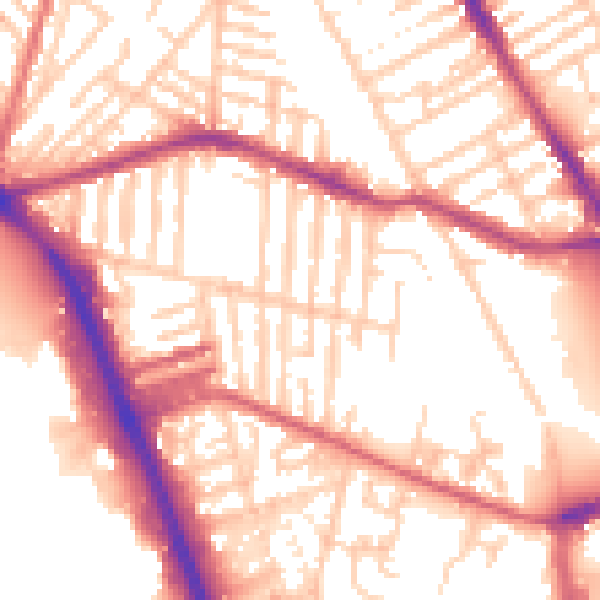
Daytime· 07:00 – 23:00
55.4dB

Night-time· 23:00 – 07:00
46.1dB