28 Brookhill Close, Bootle, L20 3NZ
About 28 Brookhill Close
28 Brookhill Close is a three-bedroom mid-terrace house in Bootle (L20 3NZ). It has a recorded floor area of 91 m² (around 980 sq ft), construction records dating it to 1967-1975 and council tax band A. Tenure is freehold. The latest certificate (July 2020) shows a D (score 61), on the cusp of jumping into the C band. The recommended improvements would push it to C (score 73). Other recorded features include a conservatory and outbuildings.
At 91 m² the property is well over the postcode median (48 m² across 21 EPCs), placing it in the larger end of the local stock. Today's modelled estimate of £139,000 is 39% above the 2020 sale price. On a £-per-square-foot basis, the last sale (£102/sq ft) was about 64.8% above the typical sold price in the postcode. Sold September 2020 for £100,000.
What this property has
Inside
- Bedrooms3
- Bathrooms2
- ConservatoryYes
Outside
- Private gardenRear
- DrivewayYes
- OutbuildingsYes
Building
- TenureFreehold
- RefurbishedYes
Everything you need to know about 28 Brookhill Close
The true value, the hidden risks and the full sale history, in one report.
30-day money-back guarantee

The data behind every report


Energy performance
EPC Rating
Planning history
28 Brookhill Close has no planning applications on record.
Notable planning nearby
1applications of note in the surrounding area
Sales history & valuation
The latest sale landed in the post-pandemic price surge — useful context when reading the figure.
£139,000
Modelled from EPC, postcode comparables.
£100,000
Recorded with HM Land Registry.
Sales timeline
17 September 2020Most recent
£100,000
Median price across the last 5 sales in L20 3NZ: £60,000 (2024–2000).
Versus other Brookhill Close homes
On price per m², 28 Brookhill Close stands well clear of the street.
Price per m²
£1,099
Street avg £745
Floor Area
91 m²
Street avg 86 m²
Habitable Rooms
4 rooms
Street avg 4 rooms
CO₂ Emissions
4.3 t/year
Street avg 2.9 t/year
Everything you need to know about 28 Brookhill Close
The true value, the hidden risks and the full sale history, in one report.
30-day money-back guarantee
The data behind every report
Similar properties nearby
The neighbourhood at a glance
Reported crime in the wider district is trending notably upward year-on-year.
Crime
7/mo
Rising year-on-year across the wider district.
Nearest stop
0.1 km
Mill Lane — bus stop.
Closest school
0.2 km
Christ Church Church of England Controlled Primary School. 35 schools nearby.
Go deeper on the local area
The full report breaks down crime, transport links, schools and air quality in depth.
Road noise across the postcode
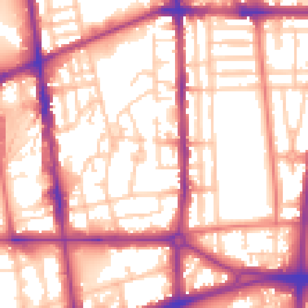
Daytime· 07:00 – 23:00
57.4dB

Night-time· 23:00 – 07:00
47.7dB