29 Ash Street, Bootle, L20 3EY
About 29 Ash Street
29 Ash Street is a two-bedroom mid-terrace house in Bootle (L20 3EY). It has a recorded floor area of 81 m² (around 872 sq ft), construction records dating it to 1900-1929 and council tax band A. The latest certificate (September 2015) shows a D (score 58), a step below the typical UK home. The rating has held steady at D across 2 certificates since April 2010. Between certificates, lighting went from Very Poor to Average; while window efficiency dropped from Good to Average. The recommended improvements would lift it to B (score 86), a 2-band jump. The latest certificate is from September 2015, so improvements made since then won't be reflected.
Untraded for 20 years, with the last transfer in August 2006. Today's modelled estimate of £107,000 is 44.6% above the 2006 sale price. On a £-per-square-foot basis, the last sale (£85/sq ft) was about 34.9% above the typical sold price in the postcode.
What this property has
Inside
- Bedrooms2
- Bathrooms1
Outside
- Private gardenFront
Building
- Central heatingYes
Everything you need to know about 29 Ash Street
The true value, the hidden risks and the full sale history, in one report.
30-day money-back guarantee

The data behind every report


Energy performance
Recommended upgrades on file would lift this property by multiple EPC bands.
EPC Expired
This certificate is over 10 years old and is no longer valid.Expired 27 Sept 2025
EPC Rating
Property Improvements
Changes detected from historical EPC data
More low energy lighting installed
Planning history
29 Ash Street has no planning applications on record.
Notable planning nearby
1applications of note in the surrounding area
Sales history & valuation
29 Ash Street valuation sits well clear of the typical sold price in this postcode.
£107,000
Modelled from EPC, postcode comparables.
£74,000
Recorded with HM Land Registry.
Sales timeline
10 August 2006Most recent
£74,000
Median price across the last 5 sales in L20 3EY: £68,000 (2023–2016).
Versus other Ash Street homes
On habitable rooms, 29 Ash Street runs well behind the street norm.
Price per m²
£914
Street avg £891
Floor Area
81 m²
Street avg 80 m²
Habitable Rooms
3 rooms
Street avg 4 rooms
CO₂ Emissions
4.3 t/year
Street avg 3.9 t/year
Everything you need to know about 29 Ash Street
The true value, the hidden risks and the full sale history, in one report.
30-day money-back guarantee
The data behind every report
Similar properties nearby
The neighbourhood at a glance
Rail-style transport is unusually close for this postcode.
Crime
7/mo
Rising year-on-year across the wider district.
Nearest stop
0.2 km
Thornton Road — bus stop.
Closest school
0.3 km
Christ Church Church of England Controlled Primary School. 35 schools nearby.
Go deeper on the local area
The full report breaks down crime, transport links, schools and air quality in depth.
Road noise across the postcode
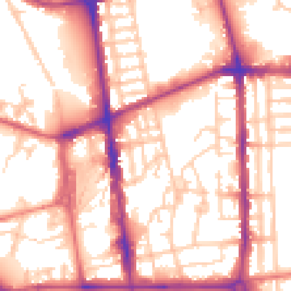
Daytime· 07:00 – 23:00
56.4dB

Night-time· 23:00 – 07:00
46.9dB