22 Moss Lane, Bootle, L20 0ED
About 22 Moss Lane
22 Moss Lane is a semi-detached house in Bootle (L20 0ED). It has a recorded floor area of 108 m² (around 1163 sq ft), construction records dating it to 1950-1966 and council tax band C. The latest certificate (September 2015) shows an E (score 52), well below the UK norm with real room to improve. The recommended improvements would lift it to C (score 80), a 2-band jump. The latest certificate is from September 2015, so improvements made since then won't be reflected.
Today's modelled estimate of £194,000 sits 198.5% above the 2015 sale of £65,000. On a £-per-square-foot basis, the last sale (£56/sq ft) was about 29.6% below the postcode norm. At 108 m² it's 21.3% larger than the typical home in the postcode (89 m² median across 15 EPCs). It lags the bulk of the postcode on energy efficiency (less efficient than 73% of similar EPCs). 11 years since the last transfer (November 2015).
Everything you need to know about 22 Moss Lane
The true value, the hidden risks and the full sale history, in one report.
30-day money-back guarantee

The data behind every report


Energy performance
22 Moss Lane's carbon output runs well above what efficient homes in the postcode produce.
EPC Expired
This certificate is over 10 years old and is no longer valid.Expired 06 Sept 2025
EPC Rating
Planning history
22 Moss Lane has no planning applications on record.
The full report still covers planning activity across the surrounding area.
Sales history & valuation
22 Moss Lane valuation sits well clear of the typical sold price in this postcode.
£194,000
Modelled from EPC, postcode comparables.
£65,000
Recorded with HM Land Registry.
Sales timeline
12 November 2015Most recent
£65,000
Median price across the last 5 sales in L20 0ED: £177,000 (2024–2019).
Versus other Moss Lane homes
On price per m², 22 Moss Lane runs well behind the street norm.
Price per m²
£602
Street avg £1,213
Floor Area
108 m²
Street avg 149 m²
Habitable Rooms
5 rooms
Street avg 7 rooms
CO₂ Emissions
6.4 t/year
Street avg 7.9 t/year
Everything you need to know about 22 Moss Lane
The true value, the hidden risks and the full sale history, in one report.
30-day money-back guarantee
The data behind every report
Similar properties nearby
The neighbourhood at a glance
Reported crime in the wider district is trending notably upward year-on-year.
Crime
7/mo
Rising year-on-year across the wider district.
Nearest stop
0.2 km
Moss Lane — bus stop.
Closest school
0.6 km
King's Leadership Academy Hawthornes. 40 schools nearby.
Go deeper on the local area
The full report breaks down crime, transport links, schools and air quality in depth.
Road noise across the postcode
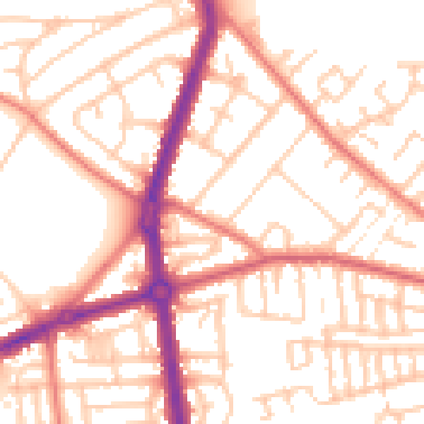
Daytime· 07:00 – 23:00
53.4dB
Night-time· 23:00 – 07:00
42.7dB