33 North Drive, Wavertree, Liverpool, L15 8JE
About 33 North Drive
33 North Drive is a seven-bedroom detached house in Wavertree, Liverpool, Liverpool (L15 8JE). It has a recorded floor area of 339 m² (around 3649 sq ft), construction records dating it to before 1900 and council tax band G. The latest certificate (July 2015) shows an F (score 35), near the bottom of the EPC scale. The recommended improvements would lift it to D (score 67), a 2-band jump. The latest certificate is from July 2015, so improvements made since then won't be reflected. Other recorded features include a basement. Period features are noted in the property record.
At 339 m² the property is well over the postcode median (53 m² across 30 EPCs), placing it in the larger end of the local stock. On energy efficiency it sits in the bottom 10% of properties in this postcode — significant headroom for improvement. 7 bedrooms is on the larger side for this postcode, where 1 is the typical count. 5 planning records sit against the property, 4 approved, 0 refused. Past consents include new windows, meaningful when judging how the property has evolved. Today's modelled estimate of £612,000 is 49.3% above the 2017 sale price. On a £-per-square-foot basis, the last sale (£112/sq ft) was about 44.1% below the postcode norm. 9 years since the last transfer (March 2017).
Know exactly what you're buying at 33 North Drive
Before you offer, see what the listing won't tell you, the true value, the red flags and the full history.
Already flagged here
Valuation
against the asking price
Risks
planning & flood
Sold prices
similar homes nearby
Trends
the local market
What this property has
Inside
- Bedrooms7
- Dining roomYes
- BasementYes
Outside
- Private gardenYes
- GarageYes
Building
- Heating systemElectric
- Period featuresYes
Energy performance
33 North Drive sits at the bottom of the postcode for energy efficiency — meaningful headroom to improve.
EPC Expired
This certificate is over 10 years old and is no longer valid.Expired 14 Jul 2025
EPC Rating
Planning history
33 North Drive has been through 4 approved planning applications — a well-evolved property.
- May 2019ConditionsIn report
To discharge conditions 3 4 + 5 attached to 17L/2291
- Reference
- 18DIS/0828
- Feb 2019RenovationFullIn report
To carry out internal and external alterations including removal of internal/external walls to outrigger, alterations to windows and front elevation and install timber decking (alternative to app no. 17H/2341).
New Windows- Documents
- 21 docs on file
- Reference
- 18H/2869
We flagged 1 thing worth checking at 33 North Drive
Independent checks surfaced things a buyer would want to understand before offering. The report explains each one in full, with the underlying data and what to ask.
- Signs of HMO activity in the area
30-day money-back guarantee
Sales history & valuation
33 North Drive valuation sits well clear of the typical sold price in this postcode.
£612,000
Modelled from EPC, postcode comparables.
£410,000
Recorded with HM Land Registry.
Sales timeline
29 March 2017Most recent
£410,000
Median price across the last 5 sales in L15 8JE: £365,000 (2025–2021).
Nearby sales in L15 8JE
Flat 1, 23 North Drive, Wavertree, Liverpool, L15 8JE
Sold Oct 2025
£110,000Flat 2, 23 North Drive, Wavertree, Liverpool, L15 8JE
Sold Aug 2025
£82,0005 North Drive, Wavertree, Liverpool, L15 8JE
Sold Sept 2024
£625,00017 North Drive, Wavertree, Liverpool, L15 8JE
Sold Mar 2022
£560,0003 North Drive, Wavertree, Liverpool, L15 8JE
Sold Jan 2021
£365,000
Everything we know about 33 North Drive, in one report
What it's really worth, what could be wrong, and the planning, sales and area data in full.
What we flagged
- Signs of HMO activity in the area

Versus other North Drive homes
33 North Drive outperforms the street on floor area by a wide margin.
Price per m²
£1,209
Street avg £1,931
Floor Area
339 m²
Street avg 233 m²
Habitable Rooms
8 rooms
Street avg 7 rooms
CO₂ Emissions
22.0 t/year
Street avg 17.1 t/year
Similar properties nearby
The neighbourhood at a glance
Rail-style transport is unusually close for this postcode.
Crime
6/mo
Rising year-on-year across the wider district.
Nearest stop
0.3 km
Grove Street — bus stop.
Closest school
0.2 km
Our Lady of Good Help Catholic Primary School. 52 schools nearby.
Go deeper on the local area
The full report breaks down crime, transport links, schools and air quality in depth.
Road noise across the postcode
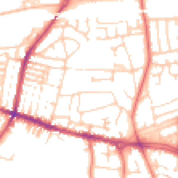
Daytime· 07:00 – 23:00
51.9dB

Night-time· 23:00 – 07:00
40.8dB