11 Hollins Close, Liverpool, L15 8AN
About 11 Hollins Close
11 Hollins Close is a semi-detached house in Liverpool (L15 8AN). It has a recorded floor area of 77 m² (around 829 sq ft), construction records dating it to 1991-1995 and council tax band B. The latest certificate (March 2014) shows a D (score 61), on the cusp of jumping into the C band. The recommended improvements would lift it to B (score 85), a 2-band jump. The latest certificate is from March 2014, so improvements made since then won't be reflected.
Untraded for 23 years, with the last transfer in November 2003. Today's modelled estimate of £216,000 sits 132.4% above the 2003 sale of £92,950. On a £-per-square-foot basis, the last sale (£112/sq ft) was about 23% above the typical sold price in the postcode. One planning record on file: an extension approved in 2013. Past consents include an extension, meaningful when judging how the property has evolved.
Know exactly what you're buying at 11 Hollins Close
Before you offer, see what the listing won't tell you, the true value, the red flags and the full history.
Already flagged here
Valuation
against the asking price
Risks
planning & flood
Sold prices
similar homes nearby
Trends
the local market
Energy performance
Recommended upgrades on file would lift this property by multiple EPC bands.
EPC Expired
This certificate is over 10 years old and is no longer valid.Expired 15 Mar 2024
EPC Rating
Planning history
- Jan 2013ExtensionFullIn report
Extension: Side and rear of property
To erect two storey extension to the side and single storey extension to the front.
- Documents
- 13 docs on file
- Reference
- 12H/2976
We flagged 1 thing worth checking at 11 Hollins Close
Independent checks surfaced things a buyer would want to understand before offering. The report explains each one in full, with the underlying data and what to ask.
- Signs of HMO activity in the area
30-day money-back guarantee
Sales history & valuation
11 Hollins Close valuation sits well clear of the typical sold price in this postcode.
£216,000
Modelled from EPC, postcode comparables.
£92,950
Recorded with HM Land Registry.
Sales timeline
21 November 2003Most recent
£92,950
Median price across the last 5 sales in L15 8AN: £167,000 (2024–2017).
Nearby sales in L15 8AN
Everything we know about 11 Hollins Close, in one report
What it's really worth, what could be wrong, and the planning, sales and area data in full.
What we flagged
- Signs of HMO activity in the area

Versus other Hollins Close homes
Price per m²
£1,207
Street avg £1,537
Floor Area
77 m²
Street avg 88 m²
Habitable Rooms
5 rooms
Street avg 5 rooms
CO₂ Emissions
3.6 t/year
Street avg 3.9 t/year
Similar properties nearby
The neighbourhood at a glance
Reported crime in the wider district is trending notably upward year-on-year.
Crime
6/mo
Rising year-on-year across the wider district.
Nearest stop
0.1 km
Crossley Drive — bus stop.
Closest school
0.4 km
Our Lady of Good Help Catholic Primary School. 55 schools nearby.
Go deeper on the local area
The full report breaks down crime, transport links, schools and air quality in depth.
Road noise across the postcode
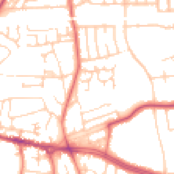
Daytime· 07:00 – 23:00
51.1dB

Night-time· 23:00 – 07:00
40.7dB