6 Westway, Wavertree, Liverpool, L15 7LX
About 6 Westway
6 Westway is a three-bedroom semi-detached house in Wavertree, Liverpool, Liverpool (L15 7LX). It has a recorded floor area of 77 m² (around 829 sq ft), construction records dating it to 1950-1966 and council tax band C. The latest certificate (October 2013) shows a C (score 72). When first surveyed in September 2011 the rating was F, the property has climbed 3 bands since. Between certificates, window efficiency went from Very Poor to Good, hot-water efficiency went from Very Poor to Good and main heating went from Very Poor to Good; while lighting dropped from Very Good to Good. The recommended improvements would push it to B (score 87). The latest certificate is from October 2013, so improvements made since then won't be reflected. Period features are noted in the property record. Records show the property has been extended at some point in its history.
On energy efficiency it sits in the top 10% of properties in this postcode. Across 2006–2014, sale prices on this property compounded at 3.5% per year. Today's modelled estimate of £296,000 sits 62.6% above the 2014 sale of £182,000. On a £-per-square-foot basis, the last sale (£220/sq ft) was about 27% above the typical sold price in the postcode. 12 years since the last transfer (April 2014).
Know exactly what you're buying at 6 Westway
Before you offer, see what the listing won't tell you, the true value, the red flags and the full history.
Already flagged here
Valuation
against the asking price
Risks
planning & flood
Sold prices
similar homes nearby
Trends
the local market
What this property has
Inside
- Bedrooms3
- Open-plan layoutYes
- EnsuiteYes
Outside
- Private gardenYes
Building
- Period featuresYes
- Previously extendedYes
- RefurbishedYes
Energy performance
6 Westway ranks among the most efficient homes in the postcode for energy use.
EPC Expired
This certificate is over 10 years old and is no longer valid.Expired 28 Oct 2023
EPC Rating
Property Improvements
Changes detected from historical EPC data
Upgraded to gas central heating
Hot water system upgraded
Single glazing replaced with double or better glazing
Low energy lighting percentage decreased
Planning history
6 Westway has no planning applications on record.
The full report still covers planning activity across the surrounding area.
We flagged 1 thing worth checking at 6 Westway
Independent checks surfaced things a buyer would want to understand before offering. The report explains each one in full, with the underlying data and what to ask.
- Recent ownership pattern worth a look
30-day money-back guarantee
Sales history & valuation
6 Westway changed hands twice within eighteen months — unusual for the area.
£296,000
Modelled from EPC, postcode comparables and a sale-price growth of 3.5% per year over 8 years.
£182,000
Growth on file: 3.5% per year over 8 years.
Sales timeline
10 April 2014Most recent
£182,000
+61.8%over 1 year17 December 2012
£112,500
-19.6%over 6 years18 July 2006
£140,000
Median price across the last 5 sales in L15 7LX: £220,000 (2024–2021).
Nearby sales in L15 7LX
10 Westway, Wavertree, Liverpool, L15 7LX
Sold Dec 2024
£220,0004 Westway, Wavertree, Liverpool, L15 7LX
Sold Jun 2024
£265,00030 Westway, Wavertree, Liverpool, L15 7LX
Sold Nov 2021
£180,00023 Westway, Wavertree, Liverpool, L15 7LX
Sold Oct 2021
£220,00011 Westway, Wavertree, Liverpool, L15 7LX
Sold Feb 2021
£190,000
Everything we know about 6 Westway, in one report
What it's really worth, what could be wrong, and the planning, sales and area data in full.
What we flagged
- Recent ownership pattern worth a look

Versus other Westway homes
EPC Rating for 6 Westway runs comfortably ahead of the street norm.
Price per m²
£2,364
Street avg £2,210
Floor Area
77 m²
Street avg 78 m²
Habitable Rooms
4 rooms
Street avg 5 rooms
CO₂ Emissions
2.5 t/year
Street avg 4.9 t/year
Similar properties nearby
The neighbourhood at a glance
Reported crime in the wider district is trending notably upward year-on-year.
Crime
6/mo
Rising year-on-year across the wider district.
Nearest stop
0.1 km
Westway — bus stop.
Closest school
0.2 km
Christ The King Catholic Primary School. 47 schools nearby.
Go deeper on the local area
The full report breaks down crime, transport links, schools and air quality in depth.
Road noise across the postcode
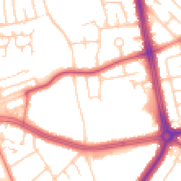
Daytime· 07:00 – 23:00
52.2dB

Night-time· 23:00 – 07:00
43.0dB