25 Westway, Wavertree, Liverpool, L15 7LX
About 25 Westway
25 Westway is a semi-detached house in Wavertree, Liverpool, Liverpool (L15 7LX). It has a recorded floor area of 61 m² (around 656 sq ft), construction records dating it to 1930-1949 and council tax band C. The latest certificate (December 2008) shows an E (score 42), well below the UK norm with real room to improve. The recommended improvements would push it to D (score 64). The latest certificate is from December 2008, so improvements made since then won't be reflected.
Held since April 2009 — that's 17 years off the open market, well above the local norm. That sale fell during the post-crash dip, which often skews comparisons against later neighbouring sales. Across 1995–2009, sale prices on this property compounded at 8.1% per year. Today's modelled estimate of £225,000 is 41.5% above the 2009 sale price. On a £-per-square-foot basis, the last sale (£242/sq ft) was about 40.1% above the typical sold price in the postcode. At 61 m² it's 18.7% smaller than the typical home in the postcode (75 m² median across 19 EPCs).
Know exactly what you're buying at 25 Westway
Before you offer, see what the listing won't tell you, the true value, the red flags and the full history.
Valuation
against the asking price
Risks
planning & flood
Sold prices
similar homes nearby
Trends
the local market
Energy performance
25 Westway's EPC is over a decade old — improvements since won't be reflected.
EPC Expired
This certificate is over 10 years old and is no longer valid.Expired 08 Dec 2018
EPC Rating
Planning history
25 Westway has no planning applications on record.
The full report still covers planning activity across the surrounding area.
Sales history & valuation
25 Westway has more than doubled in price since the earliest registered sale in 1995.
£225,000
Modelled from EPC, postcode comparables and a sale-price growth of 8.1% per year over 13 years.
£159,000
Growth on file: 8.1% per year over 13 years.
Sales timeline
23 April 2009Most recent
£159,000
+174.1%over 10 years9 March 1999
£58,000
+3.6%over 3 years30 November 1995
£56,000
Median price across the last 5 sales in L15 7LX: £220,000 (2024–2021).
Nearby sales in L15 7LX
10 Westway, Wavertree, Liverpool, L15 7LX
Sold Dec 2024
£220,0004 Westway, Wavertree, Liverpool, L15 7LX
Sold Jun 2024
£265,00030 Westway, Wavertree, Liverpool, L15 7LX
Sold Nov 2021
£180,00023 Westway, Wavertree, Liverpool, L15 7LX
Sold Oct 2021
£220,00011 Westway, Wavertree, Liverpool, L15 7LX
Sold Feb 2021
£190,000
Everything we know about 25 Westway, in one report
What it's really worth, what could be wrong, and the planning, sales and area data in full.
- Am I paying too much?
- Is something wrong with it?
- Is the agent's story true?
- Will it hold its value?

Versus other Westway homes
On floor area, 25 Westway runs well behind the street norm.
Price per m²
£2,607
Street avg £2,192
Floor Area
61 m²
Street avg 78 m²
Habitable Rooms
4 rooms
Street avg 5 rooms
CO₂ Emissions
4.4 t/year
Street avg 4.8 t/year
Similar properties nearby
The neighbourhood at a glance
Reported crime in the wider district is trending notably upward year-on-year.
Crime
6/mo
Rising year-on-year across the wider district.
Nearest stop
0.1 km
Westway — bus stop.
Closest school
0.2 km
Christ The King Catholic Primary School. 47 schools nearby.
Go deeper on the local area
The full report breaks down crime, transport links, schools and air quality in depth.
Road noise across the postcode
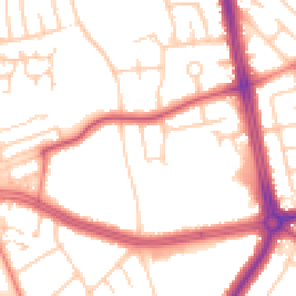
Daytime· 07:00 – 23:00
52.2dB

Night-time· 23:00 – 07:00
43.0dB