15 Westway, Wavertree, Liverpool, L15 7LX
About 15 Westway
15 Westway is a property in Wavertree, Liverpool, Liverpool (L15 7LX). It has council tax band C.
Most recent transfer: February 2021 at £153,000. That sale was during the post-pandemic price surge, when transactions cleared materially above pre-2020 trend.
Know exactly what you're buying at 15 Westway
Before you offer, see what the listing won't tell you, the true value, the red flags and the full history.
Valuation
against the asking price
Risks
planning & flood
Sold prices
similar homes nearby
Trends
the local market
Energy performance
No EPC on record
This property doesn't have an Energy Performance Certificate yet. An EPC is required to sell or let — and unlocks our automated valuation.
Planning history
15 Westway has no planning applications on record.
The full report still covers planning activity across the surrounding area.
Sales history & valuation
The latest sale landed in the post-pandemic price surge — useful context when reading the figure.
£153,000
Recorded with HM Land Registry.
Sales timeline
12 February 2021Most recent
£153,000
Median price across the last 5 sales in L15 7LX: £220,000 (2024–2021).
Nearby sales in L15 7LX
10 Westway, Wavertree, Liverpool, L15 7LX
Sold Dec 2024
£220,0004 Westway, Wavertree, Liverpool, L15 7LX
Sold Jun 2024
£265,00030 Westway, Wavertree, Liverpool, L15 7LX
Sold Nov 2021
£180,00023 Westway, Wavertree, Liverpool, L15 7LX
Sold Oct 2021
£220,00011 Westway, Wavertree, Liverpool, L15 7LX
Sold Feb 2021
£190,000
Everything we know about 15 Westway, in one report
What it's really worth, what could be wrong, and the planning, sales and area data in full.
- Am I paying too much?
- Is something wrong with it?
- Is the agent's story true?
- Will it hold its value?

Similar properties nearby
The neighbourhood at a glance
Reported crime in the wider district is trending notably upward year-on-year.
Crime
6/mo
Rising year-on-year across the wider district.
Nearest stop
0.1 km
Westway — bus stop.
Closest school
0.2 km
Christ The King Catholic Primary School. 47 schools nearby.
Go deeper on the local area
The full report breaks down crime, transport links, schools and air quality in depth.
Road noise across the postcode
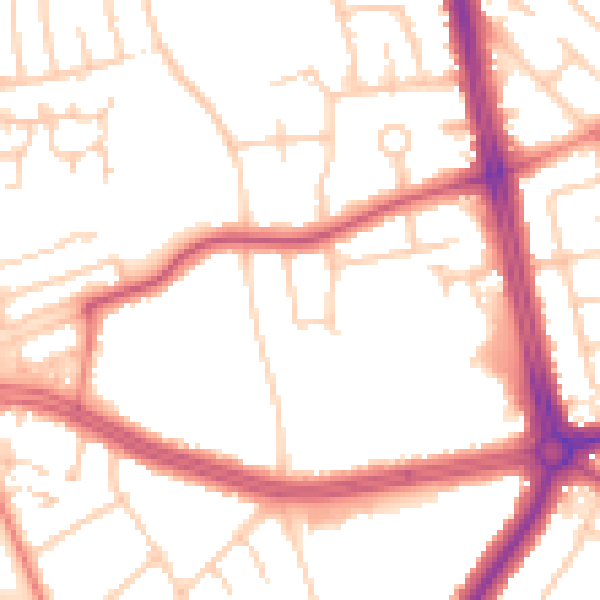
Daytime· 07:00 – 23:00
52.2dB

Night-time· 23:00 – 07:00
43.0dB