9 Heywood Road, Liverpool, L15 7LS
About 9 Heywood Road
9 Heywood Road is a property in Liverpool (L15 7LS). It has council tax band D.
Untraded for 21 years, with the last transfer in April 2005. 6 planning records sit against the property, 4 approved, 1 refused. Past consents include an extension and partial demolition, meaningful when judging how the property has evolved.
Know exactly what you're buying at 9 Heywood Road
Before you offer, see what the listing won't tell you, the true value, the red flags and the full history.
Valuation
against the asking price
Risks
planning & flood
Sold prices
similar homes nearby
Trends
the local market
Energy performance
No EPC on record
This property doesn't have an Energy Performance Certificate yet. An EPC is required to sell or let — and unlocks our automated valuation.
Planning history
Planning history includes recorded demolition works, indicating a major rebuild phase at this address.
- Mar 2021DemolitionFullIn report
Extension: Single storey · Rear of property
To erect single storey extension to rear following demolition of conservatory and install new window on side of existing outrigger.
Extension- Documents
- 17 docs on file
- Reference
- 20H/0602
- Jan 2019RenovationFullIn report
To remove 1 no. gate post at front of property (retrospective application)
Retrospective- Documents
- 23 docs on file
- Reference
- 18H/2122
What's in 9 Heywood Road, Liverpool, L15 7LS's planning history?
4 more on this property, plus refusals, disputes and full decisions nearby, in the report.
Sales history & valuation
£175,000
Recorded with HM Land Registry.
Sales timeline
13 April 2005Most recent
£175,000
Median price across the last 5 sales in L15 7LS: £325,000 (2024–2024).
Nearby sales in L15 7LS
Everything we know about 9 Heywood Road, in one report
What it's really worth, what could be wrong, and the planning, sales and area data in full.
- Am I paying too much?
- Is something wrong with it?
- Is the agent's story true?
- Will it hold its value?

Similar properties nearby
The neighbourhood at a glance
Rail-style transport is unusually close for this postcode.
Crime
6/mo
Rising year-on-year across the wider district.
Nearest stop
0.2 km
Thingwall Road — bus stop.
Closest school
0.4 km
Christ The King Catholic Primary School. 57 schools nearby.
Go deeper on the local area
The full report breaks down crime, transport links, schools and air quality in depth.
Road noise across the postcode
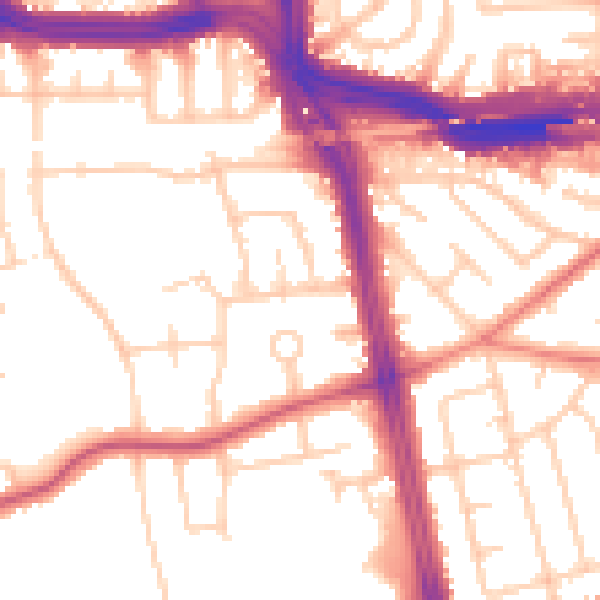
Daytime· 07:00 – 23:00
54.2dB

Night-time· 23:00 – 07:00
45.3dB