19 Heywood Road, Liverpool, L15 7LS
About 19 Heywood Road
19 Heywood Road is a one-bedroom semi-detached house in Liverpool (L15 7LS). It has a recorded floor area of 159 m² (around 1711 sq ft), construction records dating it to before 1900 and council tax band C. The latest certificate (February 2014) shows an F (score 37), near the bottom of the EPC scale. Earlier certificates rated it E (October 2009); the latest reading is one band lower. Between certificates, window efficiency went from Very Poor to Poor and hot-water efficiency went from Average to Good; while lighting dropped from Very Good to Good. The recommended improvements would lift it to D (score 64), a 2-band jump. The latest certificate is from February 2014, so improvements made since then won't be reflected.
Untraded for 16 years, with the last transfer in October 2010. At 159 m² the property is well over the postcode median (100 m² across 21 EPCs), placing it in the larger end of the local stock. It lags the bulk of the postcode on energy efficiency (less efficient than 86% of similar EPCs). 1 bedrooms is on the smaller side for this postcode, where 3 is the typical count. Across 2002–2010, sale prices on this property compounded at 3.5% per year. Today's modelled estimate of £304,000 sits 52% above the 2010 sale of £200,000. On a £-per-square-foot basis, the last sale (£117/sq ft) was about 34.6% below the postcode norm. 5 planning records sit against the property, 4 approved, 0 refused. Past consents include tree works, an extension, a porch and partial demolition, meaningful when judging how the property has evolved.
Know exactly what you're buying at 19 Heywood Road
Before you offer, see what the listing won't tell you, the true value, the red flags and the full history.
Valuation
against the asking price
Risks
planning & flood
Sold prices
similar homes nearby
Trends
the local market
What this property has
Inside
- Bedrooms1
- Bathrooms1
Outside
- Communal gardenYes
- ParkingAllocated
Building
- Heating systemGas
Energy performance
19 Heywood Road's carbon output runs well above what efficient homes in the postcode produce.
EPC Expired
This certificate is over 10 years old and is no longer valid.Expired 03 Feb 2024
EPC Rating
Property Improvements
Changes detected from historical EPC data
Heating controls upgraded for better temperature management
Hot water system upgraded
Window efficiency improved
MVHR (mechanical ventilation with heat recovery) installed
Planning history
Planning history includes recorded demolition works, indicating a major rebuild phase at this address.
- Sept 2025DemolitionFullIn report
** Amended Description ** To erect a detached garage to side following demolition of existing detached garage to side and extend a boundary brick wall.
Extension- Reference
- 25H/2450
- Jun 2020Tree WorksTreesIn report
To carry out treeworks.
- Documents
- 9 docs on file
- Reference
- 20T/0889
What's in 19 Heywood Road, Liverpool, L15 7LS's planning history?
3 more on this property, plus refusals, disputes and full decisions nearby, in the report.
Sales history & valuation
19 Heywood Road saw 3 transfers in just over a decade — high turnover for the postcode.
£304,000
Modelled from EPC, postcode comparables and a sale-price growth of 3.5% per year over 8 years.
£200,000
Growth on file: 3.5% per year over 8 years.
Sales timeline
14 October 2010Most recent
£200,000
-20.0%over 4 years24 September 2006
£249,999
+66.7%over 4 years30 April 2002
£150,000
Median price across the last 5 sales in L15 7LS: £325,000 (2024–2024).
Nearby sales in L15 7LS
Everything we know about 19 Heywood Road, in one report
What it's really worth, what could be wrong, and the planning, sales and area data in full.
- Am I paying too much?
- Is something wrong with it?
- Is the agent's story true?
- Will it hold its value?

Versus other Heywood Road homes
On price per m², 19 Heywood Road runs well behind the street norm.
Price per m²
£1,258
Street avg £2,256
Floor Area
159 m²
Street avg 107 m²
Habitable Rooms
6 rooms
Street avg 6 rooms
CO₂ Emissions
8.9 t/year
Street avg 6.0 t/year
Similar properties nearby
The neighbourhood at a glance
Rail-style transport is unusually close for this postcode.
Crime
6/mo
Rising year-on-year across the wider district.
Nearest stop
0.2 km
Thingwall Road — bus stop.
Closest school
0.4 km
Christ The King Catholic Primary School. 57 schools nearby.
Go deeper on the local area
The full report breaks down crime, transport links, schools and air quality in depth.
Road noise across the postcode
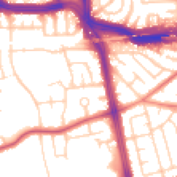
Daytime· 07:00 – 23:00
54.2dB

Night-time· 23:00 – 07:00
45.3dB